Area Overview for GU47 9EN
Photos of GU47 9EN
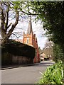

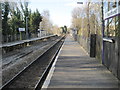
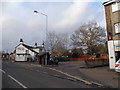
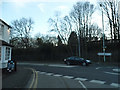
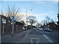
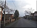
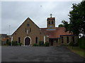
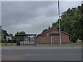
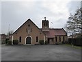
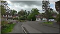
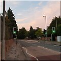
72 photos from this area
Area Information
Key information about the GU47 9EN including its size, population, and administrative classification.
- Area Type
- Postcode
- Area Size
- 1.6 hectares
- Population
- 1794
- Population Density
- 1876 people/km²
House Prices in GU47 9EN
28
Properties
£345,140
Average Sold Price
£79,600
Lowest Price
£707,000
Highest Price
Showing 28 properties
| Address | Type | Beds | Baths | Last Sale Price | Last Sale Date | |
|---|---|---|---|---|---|---|
| 4 Moffats Close, Sandhurst, GU47 9EN | Retail | 4 | 2 | £550,000 | May 2022 | |
| 28 Moffats Close, Sandhurst, GU47 9EN | house | - | - | £707,000 | Mar 2022 | |
| 23 Moffats Close, Sandhurst, GU47 9EN | Detached | 4 | - | £700,000 | Jun 2021 | |
| 2 Moffats Close, Sandhurst, GU47 9EN | Detached | 4 | - | £700,000 | Jun 2021 | |
| 22 Moffats Close, Sandhurst, GU47 9EN | Semi-detached | 3 | 2 | £420,000 | Sep 2018 | |
| 21 Moffats Close, Sandhurst, GU47 9EN | Semi-detached | 3 | 1 | £353,000 | Jul 2018 | |
| 12 Moffats Close, Sandhurst, GU47 9EN | house | - | - | £398,500 | Jul 2016 | |
| 18 Moffats Close, Sandhurst, GU47 9EN | house | - | - | £400,000 | Jul 2016 | |
| 16 Moffats Close, Sandhurst, GU47 9EN | Semi-detached | 3 | 1 | £310,000 | Aug 2015 | |
| 14 Moffats Close, Sandhurst, GU47 9EN | house | - | - | £276,000 | Jun 2014 |
Page 1 of 3
Energy Efficiency in GU47 9EN
Amenities
Schools
| Rank | School | Type | Entry gender | Ages |
|---|
Explore more schools in this area
Go to Schools tabDemographics
Household Size
Family (3-5 people)
most common
Accommodation Type
Houses
most common
Tenure
85
majority
Ethnic Group
White
most common
Religion
N/A
most common
Household Composition
N/A
most common
Age
47
median
Adults (30-64 years)
most common
Household Deprivation
N/A
with no deprivation
NS-SEC
46
in Lower managerial occupations
Explore more demographic insights in this area
Go to Demographics tabPlanning
Planning Constraints
- Flood RiskPremium
- Ramsar Wetland SitesPremium
- Area of Outstanding Natural BeautyPremium
- Protected Nature ReservePremium
- Protected WoodlandPremium