Area Overview for GU47 9BW
Photos of GU47 9BW
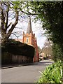
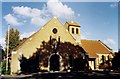
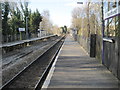
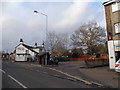
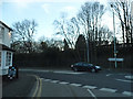
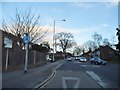
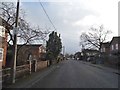
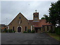
72 photos from this area
Area Information
Key information about the GU47 9BW including its size, population, and administrative classification.
- Area Type
- Postcode
- Area Size
- 8020 m²
- Population
- 1381
- Population Density
- 2836 people/km²
House Prices in GU47 9BW
38
Properties
£255,681
Average Sold Price
£106,000
Lowest Price
£385,000
Highest Price
Showing 38 properties
| Address | Type | Beds | Baths | Last Sale Price | Last Sale Date | |
|---|---|---|---|---|---|---|
| 115 Yorktown Road, Sandhurst, GU47 9BW | Maisonette | 1 | 1 | £114,000 | Oct 2023 | |
| 103A Yorktown Road, Sandhurst, GU47 9BW | Detached | 3 | 1 | £345,000 | Jun 2018 | |
| 113 Yorktown Road, Sandhurst, GU47 9BW | Semi-detached | 3 | - | £385,000 | May 2016 | |
| 109 Yorktown Road, Sandhurst, GU47 9BW | house | 3 | - | £355,000 | Jul 2015 | |
| 103 Yorktown Road, Sandhurst, GU47 9BW | house | - | - | £325,000 | Nov 2014 | |
| 111 Yorktown Road, Sandhurst, GU47 9BW | house | - | - | £290,500 | Sep 2014 | |
| 117 Yorktown Road, Sandhurst, GU47 9BW | Flat | - | - | £124,950 | Mar 2011 | |
| 105 Yorktown Road, Sandhurst, GU47 9BW | Semi-detached | - | - | £106,000 | Oct 1998 | |
| 8, Gothic Court, 83 Yorktown Road, Sandhurst, GU47 9BW | Flat | 2 | 1 | - | - | |
| 3, 125 Yorktown Road, Sandhurst, GU47 9BW | Flat | 2 | 1 | - | - |
Page 1 of 4
Energy Efficiency in GU47 9BW
Amenities
Schools
| Rank | School | Type | Entry gender | Ages |
|---|
Explore more schools in this area
Go to Schools tabDemographics
Household Size
One person
most common
Accommodation Type
Houses
most common
Tenure
60
majority
Ethnic Group
White
most common
Religion
N/A
most common
Household Composition
N/A
most common
Age
47
median
Adults (30-64 years)
most common
Household Deprivation
N/A
with no deprivation
NS-SEC
39
in Lower managerial occupations
Explore more demographic insights in this area
Go to Demographics tabPlanning
Planning Constraints
- Flood RiskPremium
- Ramsar Wetland SitesPremium
- Area of Outstanding Natural BeautyPremium
- Protected Nature ReservePremium
- Protected WoodlandPremium