Area Overview for GU47 8QL
Photos of GU47 8QL
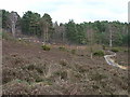
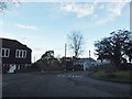
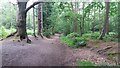
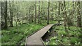
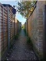
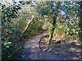
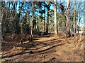
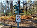
40 photos from this area
Area Information
Key information about the GU47 8QL including its size, population, and administrative classification.
- Area Type
- Postcode
- Area Size
- 7024 m²
- Population
- 1332
- Population Density
- 1488 people/km²
House Prices in GU47 8QL
12
Properties
£458,071
Average Sold Price
£147,500
Lowest Price
£725,000
Highest Price
Showing 12 properties
| Address | Type | Beds | Baths | Last Sale Price | Last Sale Date | |
|---|---|---|---|---|---|---|
| 1B Mickle Hill, Sandhurst, GU47 8QL | Semi-detached | 4 | 1 | £525,000 | Nov 2024 | |
| 4 Mickle Hill, Sandhurst, GU47 8QL | Detached | 4 | 2 | £725,000 | Jul 2023 | |
| 7 Mickle Hill, Sandhurst, GU47 8QL | Detached | 5 | 2 | £635,000 | Dec 2020 | |
| 8 Mickle Hill, Sandhurst, GU47 8QL | Detached | 4 | - | £437,000 | May 2015 | |
| 1 Mickle Hill, Sandhurst, GU47 8QL | house | - | - | £370,000 | Oct 2014 | |
| 5 Mickle Hill, Sandhurst, GU47 8QL | house | - | - | £367,000 | Aug 2009 | |
| 1A Mickle Hill, Sandhurst, GU47 8QL | Detached | 1 | 1 | £147,500 | Jun 1999 | |
| Longdown House, 1D Mickle Hill, Sandhurst, GU47 8QL | Detached | 4 | 2 | - | - | |
| Willow House, 1C Mickle Hill, Sandhurst, GU47 8QL | Detached | 4 | - | - | - | |
| 6 Mickle Hill, Sandhurst, GU47 8QL | house | - | - | - | - |
Page 1 of 2
Energy Efficiency in GU47 8QL
Amenities
Schools
| Rank | School | Type | Entry gender | Ages |
|---|
Explore more schools in this area
Go to Schools tabDemographics
Household Size
Family (3-5 people)
most common
Accommodation Type
Houses
most common
Tenure
88
majority
Ethnic Group
White
most common
Religion
N/A
most common
Household Composition
N/A
most common
Age
47
median
Adults (30-64 years)
most common
Household Deprivation
N/A
with no deprivation
NS-SEC
51
in Lower managerial occupations
Explore more demographic insights in this area
Go to Demographics tabPlanning
Planning Constraints
- Flood RiskPremium
- Ramsar Wetland SitesPremium
- Area of Outstanding Natural BeautyPremium
- Protected Nature ReservePremium
- Protected WoodlandPremium