Area Overview for GU47 0UN
Photos of GU47 0UN
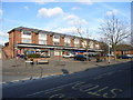
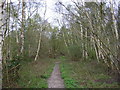
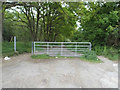
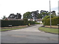
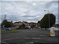
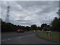

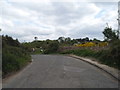
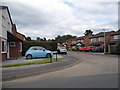
35 photos from this area
Area Information
Key information about the GU47 0UN including its size, population, and administrative classification.
- Area Type
- Postcode
- Area Size
- 9644 m²
- Population
- 1106
- Population Density
- 357 people/km²
House Prices in GU47 0UN
18
Properties
£325,781
Average Sold Price
£94,000
Lowest Price
£475,000
Highest Price
Showing 18 properties
| Address | Type | Beds | Baths | Last Sale Price | Last Sale Date | |
|---|---|---|---|---|---|---|
| 6 Balliol Way, Owlsmoor, Sandhurst, GU47 0UN | Bungalow | 3 | 1 | £415,000 | Aug 2022 | |
| 2 Balliol Way, Owlsmoor, Sandhurst, GU47 0UN | Bungalow | - | - | £430,000 | Feb 2022 | |
| 3 Balliol Way, Owlsmoor, Sandhurst, GU47 0UN | Bungalow | - | - | £430,000 | Sep 2021 | |
| 24 Balliol Way, Owlsmoor, Sandhurst, GU47 0UN | Detached | 4 | 2 | £475,000 | Feb 2020 | |
| 1 Balliol Way, Owlsmoor, Sandhurst, GU47 0UN | Detached | 3 | 1 | £356,000 | Mar 2019 | |
| 20 Balliol Way, Owlsmoor, Sandhurst, GU47 0UN | Detached | 4 | 1 | £435,000 | Mar 2017 | |
| 28 Balliol Way, Owlsmoor, Sandhurst, GU47 0UN | Bungalow | 3 | - | £385,000 | Jan 2016 | |
| 18 Balliol Way, Owlsmoor, Sandhurst, GU47 0UN | Semi-detached | 3 | 1 | £307,000 | Jan 2016 | |
| 8 Balliol Way, Owlsmoor, Sandhurst, GU47 0UN | Semi-detached | 2 | - | £275,000 | Aug 2015 | |
| 14 Balliol Way, Owlsmoor, Sandhurst, GU47 0UN | house | - | - | £292,500 | Feb 2015 |
Page 1 of 2
Energy Efficiency in GU47 0UN
Amenities
Schools
| Rank | School | Type | Entry gender | Ages |
|---|
Explore more schools in this area
Go to Schools tabDemographics
Household Size
Two person
most common
Accommodation Type
Houses
most common
Tenure
87
majority
Ethnic Group
White
most common
Religion
N/A
most common
Household Composition
N/A
most common
Age
47
median
Adults (30-64 years)
most common
Household Deprivation
N/A
with no deprivation
NS-SEC
43
in Lower managerial occupations
Explore more demographic insights in this area
Go to Demographics tabPlanning
Planning Constraints
- Flood RiskPremium
- Ramsar Wetland SitesPremium
- Area of Outstanding Natural BeautyPremium
- Protected Nature ReservePremium
- Protected WoodlandPremium