Area Overview for GU46 7TN
Photos of GU46 7TN

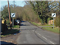
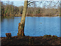
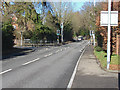
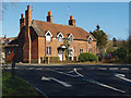
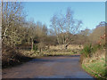
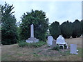
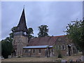
38 photos from this area
Area Information
Key information about the GU46 7TN including its size, population, and administrative classification.
- Area Type
- Postcode
- Area Size
- 8.4 hectares
- Population
- 1882
- Population Density
- 2243 people/km²
House Prices in GU46 7TN
27
Properties
£583,663
Average Sold Price
£169,000
Lowest Price
£1,800,000
Highest Price
Showing 27 properties
| Address | Type | Beds | Baths | Last Sale Price | Last Sale Date | |
|---|---|---|---|---|---|---|
| 26 Mill Lane, Yateley, GU46 7TN | Detached | 6 | 4 | £1,235,000 | Oct 2025 | |
| 28 Mill Lane, Yateley, GU46 7TN | Detached | 6 | 5 | £1,800,000 | Apr 2025 | |
| 33 Mill Lane, Yateley, GU46 7TN | Bungalow | 2 | 1 | £475,000 | Feb 2025 | |
| 22 Mill Lane, Yateley, GU46 7TN | Semi-detached | 3 | 2 | £547,500 | Oct 2024 | |
| 45 Mill Lane, Yateley, GU46 7TN | Bungalow | 2 | - | £525,000 | Mar 2023 | |
| 40 Mill Lane, Yateley, GU46 7TN | Detached | 5 | - | £875,000 | Apr 2018 | |
| 41 Mill Lane, Yateley, GU46 7TN | house | - | - | £439,950 | Mar 2015 | |
| 20 Mill Lane, Yateley, GU46 7TN | Semi-detached | - | - | £336,000 | May 2013 | |
| 42 Mill Lane, Yateley, GU46 7TN | Detached | - | - | £799,999 | Oct 2009 | |
| 18 Mill Lane, Yateley, GU46 7TN | Industrial | - | - | £282,500 | Aug 2009 |
Page 1 of 3
Energy Efficiency in GU46 7TN
Amenities
Schools
| Rank | School | Type | Entry gender | Ages |
|---|
Explore more schools in this area
Go to Schools tabDemographics
Household Size
Two person
most common
Accommodation Type
Houses
most common
Tenure
88
majority
Ethnic Group
White
most common
Religion
N/A
most common
Household Composition
N/A
most common
Age
47
median
Adults (30-64 years)
most common
Household Deprivation
N/A
with no deprivation
NS-SEC
41
in Lower managerial occupations
Explore more demographic insights in this area
Go to Demographics tabPlanning
Planning Constraints
- Flood RiskPremium
- Ramsar Wetland SitesPremium
- Area of Outstanding Natural BeautyPremium
- Protected Nature ReservePremium
- Protected WoodlandPremium