Area Overview for GU46 6FQ
Photos of GU46 6FQ
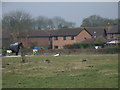
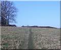
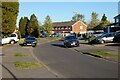
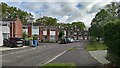
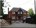
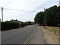
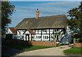
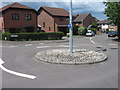
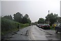

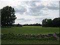
19 photos from this area
Area Information
Key information about the GU46 6FQ including its size, population, and administrative classification.
- Area Type
- Postcode
- Area Size
- 6.6 hectares
- Population
- 1470
- Population Density
- 688 people/km²
House Prices in GU46 6FQ
19
Properties
£459,745
Average Sold Price
£182,500
Lowest Price
£675,000
Highest Price
Showing 19 properties
| Address | Type | Beds | Baths | Last Sale Price | Last Sale Date | |
|---|---|---|---|---|---|---|
| 1 Catesby Gardens, Yateley, GU46 6FQ | Detached | 7 | 3 | £675,000 | Sep 2020 | |
| 15 Catesby Gardens, Yateley, GU46 6FQ | Detached | 5 | 2 | £660,000 | Nov 2019 | |
| 11 Catesby Gardens, Yateley, GU46 6FQ | house | - | - | £540,000 | Jun 2010 | |
| 6 Catesby Gardens, Yateley, GU46 6FQ | house | - | - | £535,000 | Jan 2010 | |
| 18 Catesby Gardens, Yateley, GU46 6FQ | Detached | - | - | £475,000 | Apr 2003 | |
| 14 Catesby Gardens, Yateley, GU46 6FQ | Detached | - | - | £465,000 | Apr 2002 | |
| 7 Catesby Gardens, Yateley, GU46 6FQ | Detached | - | - | £420,000 | Dec 2000 | |
| 12 Catesby Gardens, Yateley, GU46 6FQ | Detached | - | - | £395,000 | Oct 2000 | |
| 20 Catesby Gardens, Yateley, GU46 6FQ | house | - | - | £249,950 | May 1998 | |
| 17 Catesby Gardens, Yateley, GU46 6FQ | Detached | - | - | £182,500 | Apr 1996 |
Page 1 of 2
Energy Efficiency in GU46 6FQ
Amenities
Schools
| Rank | School | Type | Entry gender | Ages |
|---|
Explore more schools in this area
Go to Schools tabDemographics
Household Size
Family (3-5 people)
most common
Accommodation Type
Houses
most common
Tenure
95
majority
Ethnic Group
White
most common
Religion
N/A
most common
Household Composition
N/A
most common
Age
47
median
Adults (30-64 years)
most common
Household Deprivation
N/A
with no deprivation
NS-SEC
45
in Lower managerial occupations
Explore more demographic insights in this area
Go to Demographics tabPlanning
Planning Constraints
- Flood RiskPremium
- Ramsar Wetland SitesPremium
- Area of Outstanding Natural BeautyPremium
- Protected Nature ReservePremium
- Protected WoodlandPremium