Area Overview for GU35 9BB
Photos of GU35 9BB
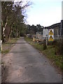
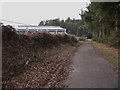
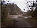
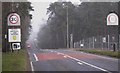
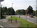
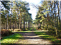
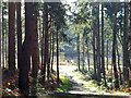
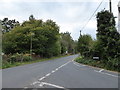
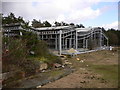
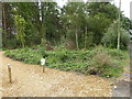
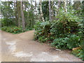
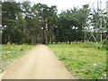
12 photos from this area
Area Information
Key information about the GU35 9BB including its size, population, and administrative classification.
- Area Type
- Postcode
- Area Size
- 6328 m²
- Population
- 1035
- Population Density
- 100 people/km²
House Prices in GU35 9BB
11
Properties
£325,000
Average Sold Price
£235,000
Lowest Price
£415,000
Highest Price
Showing 11 properties
| Address | Type | Beds | Baths | Last Sale Price | Last Sale Date | |
|---|---|---|---|---|---|---|
| Wylearn, 140 Forest Road, Whitehill, Bordon, GU35 9BB | Detached | 4 | 2 | £415,000 | Mar 2025 | |
| 119 Forest Road, Whitehill, Bordon, GU35 9BB | Detached | - | - | £235,000 | Apr 2001 | |
| Whitehill Cottage, 132 Forest Road, Whitehill, Bordon, GU35 9BB | Detached | 3 | 2 | - | - | |
| Hazeldene, 123 Forest Road, Whitehill, Bordon, GU35 9BB | Semi-detached | 2 | 1 | - | - | |
| Artisan, 136 Forest Road, Whitehill, Bordon, GU35 9BB | Detached | 4 | 1 | - | - | |
| Hodina, Forest Road, Whitehill, Bordon, GU35 9BB | Detached | 3 | - | - | - | |
| Hodini, 138 Forest Road, Whitehill, Bordon, GU35 9BB | Detached | - | - | - | - | |
| Komarisce, 129 Forest Road, Whitehill, Bordon, GU35 9BB | Detached | - | - | - | - | |
| Sandy Ridge, 135 Forest Road, Whitehill, Bordon, GU35 9BB | Detached | - | - | - | - | |
| Brilyns, 125 Forest Road, Whitehill, Bordon, GU35 9BB | Semi-detached | 3 | 1 | - | - |
Page 1 of 2
Energy Efficiency in GU35 9BB
Amenities
Schools
| Rank | School | Type | Entry gender | Ages |
|---|
Explore more schools in this area
Go to Schools tabDemographics
Household Size
Family (3-5 people)
most common
Accommodation Type
Houses
most common
Tenure
85
majority
Ethnic Group
White
most common
Religion
N/A
most common
Household Composition
N/A
most common
Age
47
median
Adults (30-64 years)
most common
Household Deprivation
N/A
with no deprivation
NS-SEC
36
in Lower managerial occupations
Explore more demographic insights in this area
Go to Demographics tabPlanning
Planning Constraints
- Flood RiskPremium
- Ramsar Wetland SitesPremium
- Area of Outstanding Natural BeautyPremium
- Protected Nature ReservePremium
- Protected WoodlandPremium