Area Overview for GU34 5SD
Photos of GU34 5SD
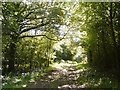
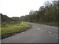
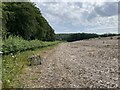

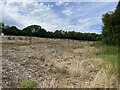

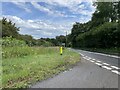
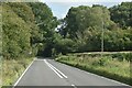


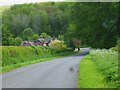
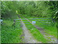
19 photos from this area
Area Information
Key information about the GU34 5SD including its size, population, and administrative classification.
- Area Type
- Postcode
- Area Size
- 89.8 hectares
- Population
- 1394
- Population Density
- 40 people/km²
House Prices in GU34 5SD
19
Properties
£728,000
Average Sold Price
£90,000
Lowest Price
£1,300,000
Highest Price
Showing 19 properties
| Address | Type | Beds | Baths | Last Sale Price | Last Sale Date | |
|---|---|---|---|---|---|---|
| The Little House, Gravel Pit Lane, Lasham, Alton, GU34 5SD | house | - | - | £585,000 | Nov 2024 | |
| Avonhyrst, Church Lane, Lasham, Alton, GU34 5SD | Detached | 4 | 1 | £792,000 | Mar 2024 | |
| Wallgarden Cottage, Gravel Pit Lane, Lasham, Alton, GU34 5SD | house | - | - | £1,165,000 | Sep 2021 | |
| The Gables, Pond Lane, Lasham, Basingstoke, GU34 5SD | Detached | 4 | 2 | £965,000 | Aug 2018 | |
| Steam Barn, Lasham Road, Lasham, Alton, GU34 5SD | house | - | - | £440,000 | Nov 2017 | |
| The Old Rectory, Lasham Road, Lasham, Alton, GU34 5SD | Semi-detached | - | - | £1,300,000 | Aug 2013 | |
| Hawthorns, Gravel Pit Lane, Lasham, Alton, GU34 5SD | house | 4 | - | £565,000 | Dec 2009 | |
| Old Post Office, Lasham Road, Lasham, Alton, GU34 5SD | Retail | - | - | £650,000 | Sep 2003 | |
| Foss Cottage, Gravel Pit Lane, Lasham, Alton, GU34 5SD | Bungalow | - | - | £90,000 | Aug 1998 | |
| 1, Fern Cottages, Pond Lane, Lasham, Basingstoke, GU34 5SD | Semi-detached | 3 | 2 | - | - |
Page 1 of 2
Energy Efficiency in GU34 5SD
Amenities
Schools
| Rank | School | Type | Entry gender | Ages |
|---|
Explore more schools in this area
Go to Schools tabDemographics
Household Size
Two person
most common
Accommodation Type
Houses
most common
Tenure
76
majority
Ethnic Group
White
most common
Religion
N/A
most common
Household Composition
N/A
most common
Age
47
median
Adults (30-64 years)
most common
Household Deprivation
N/A
with no deprivation
NS-SEC
51
in Lower managerial occupations
Explore more demographic insights in this area
Go to Demographics tabPlanning
Planning Constraints
- Flood RiskPremium
- Ramsar Wetland SitesPremium
- Area of Outstanding Natural BeautyPremium
- Protected Nature ReservePremium
- Protected WoodlandPremium