Area Overview for GU34 5NJ
Photos of GU34 5NJ
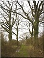
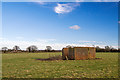
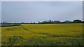
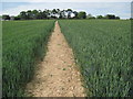
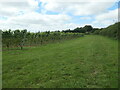
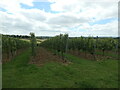
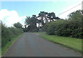
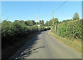
23 photos from this area
Area Information
Key information about the GU34 5NJ including its size, population, and administrative classification.
- Area Type
- Postcode
- Area Size
- 9.8 hectares
- Population
- 1883
- Population Density
- 188 people/km²
House Prices in GU34 5NJ
20
Properties
£786,591
Average Sold Price
£395,000
Lowest Price
£1,295,000
Highest Price
Showing 20 properties
| Address | Type | Beds | Baths | Last Sale Price | Last Sale Date | |
|---|---|---|---|---|---|---|
| Grestock Lodge, Wield Road, Medstead, Alton, GU34 5NJ | Detached | 3 | 2 | £795,000 | Aug 2025 | |
| East Barrow, Wield Road, Medstead, Alton, GU34 5NJ | Detached | 5 | 2 | £1,295,000 | Sep 2024 | |
| Field View House, Wield Road, Medstead, Alton, GU34 5NJ | house | - | - | £1,200,000 | Sep 2022 | |
| Sherdruck, Wield Road, Medstead, Alton, GU34 5NJ | house | - | - | £1,050,000 | Oct 2020 | |
| Lark Hill, Wield Road, Medstead, Alton, GU34 5NJ | house | 4 | - | £890,000 | Aug 2015 | |
| Heatherbank, Wield Road, Medstead, Alton, GU34 5NJ | Bungalow | 4 | - | £765,000 | Jul 2011 | |
| Oakwood, Wield Road, Medstead, Alton, GU34 5NJ | Bungalow | - | - | £540,000 | Jun 2011 | |
| Old Stables, Wield Road, Medstead, Alton, GU34 5NJ | house | 5 | - | £720,000 | Jan 2011 | |
| Foresters, Wield Road, Medstead, Alton, GU34 5NJ | Land | - | - | £582,500 | Aug 2007 | |
| Harfield, Wield Road, Medstead, Alton, GU34 5NJ | Detached | 4 | 2 | £420,000 | Sep 2004 |
Page 1 of 2
Energy Efficiency in GU34 5NJ
Amenities
Schools
| Rank | School | Type | Entry gender | Ages |
|---|
Explore more schools in this area
Go to Schools tabDemographics
Household Size
Two person
most common
Accommodation Type
Houses
most common
Tenure
86
majority
Ethnic Group
White
most common
Religion
N/A
most common
Household Composition
N/A
most common
Age
47
median
Adults (30-64 years)
most common
Household Deprivation
N/A
with no deprivation
NS-SEC
53
in Lower managerial occupations
Explore more demographic insights in this area
Go to Demographics tabPlanning
Planning Constraints
- Flood RiskPremium
- Ramsar Wetland SitesPremium
- Area of Outstanding Natural BeautyPremium
- Protected Nature ReservePremium
- Protected WoodlandPremium