Area Overview for GU34 5EW
Photos of GU34 5EW
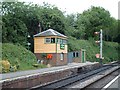
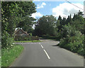
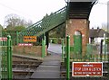
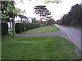

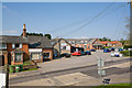
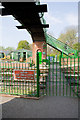
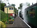

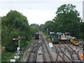
100 photos from this area
Area Information
Key information about the GU34 5EW including its size, population, and administrative classification.
- Area Type
- Postcode
- Area Size
- 17.4 hectares
- Population
- 1883
- Population Density
- 188 people/km²
House Prices in GU34 5EW
77
Properties
£644,600
Average Sold Price
£385,000
Lowest Price
£1,100,000
Highest Price
Showing 77 properties
| Address | Type | Beds | Baths | Last Sale Price | Last Sale Date | |
|---|---|---|---|---|---|---|
| Forehill, 20 Lymington Bottom Road, Medstead, Alton, GU34 5EW | Bungalow | - | - | £650,000 | Sep 2021 | |
| 50 Lymington Bottom Road, Medstead, Alton, GU34 5EW | house | - | - | £1,100,000 | Nov 2015 | |
| Holm Oak, 54 Lymington Bottom Road, Medstead, Alton, GU34 5EW | Detached | 5 | 2 | £835,000 | Sep 2015 | |
| 44 Lymington Bottom Road, Medstead, Alton, GU34 5EW | Detached | 4 | - | £575,000 | Jun 2014 | |
| Holly Cottage, 36 Lymington Bottom Road, Medstead, Alton, GU34 5EW | Detached | 5 | 2 | £590,000 | Nov 2013 | |
| The Grove, 42 Lymington Bottom Road, Medstead, Alton, GU34 5EW | Detached | 4 | 3 | £506,000 | Dec 2010 | |
| 41 Lymington Bottom Road, Medstead, Alton, GU34 5EW | Detached | 3 | 3 | £385,000 | Oct 2010 | |
| Edenfield, 38 Lymington Bottom Road, Medstead, Alton, GU34 5EW | house | - | - | £535,000 | Jan 2010 | |
| 39 Lymington Bottom Road, Medstead, Alton, GU34 5EW | Terraced | 3 | 2 | £695,000 | Dec 2007 | |
| Hampton Court, 48 Lymington Bottom Road, Medstead, Alton, GU34 5EW | Detached | - | - | £575,000 | Sep 2005 |
Page 1 of 8
Energy Efficiency in GU34 5EW
Amenities
Schools
| Rank | School | Type | Entry gender | Ages |
|---|
Explore more schools in this area
Go to Schools tabDemographics
Household Size
Two person
most common
Accommodation Type
Houses
most common
Tenure
86
majority
Ethnic Group
White
most common
Religion
N/A
most common
Household Composition
N/A
most common
Age
47
median
Adults (30-64 years)
most common
Household Deprivation
N/A
with no deprivation
NS-SEC
53
in Lower managerial occupations
Explore more demographic insights in this area
Go to Demographics tabPlanning
Planning Constraints
- Flood RiskPremium
- Ramsar Wetland SitesPremium
- Area of Outstanding Natural BeautyPremium
- Protected Nature ReservePremium
- Protected WoodlandPremium