Area Overview for GU34 4LF
Photos of GU34 4LF
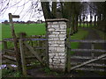
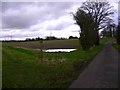
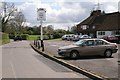
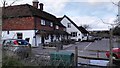
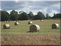
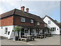
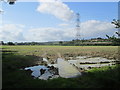
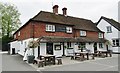
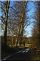
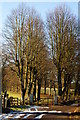
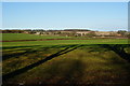
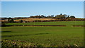
24 photos from this area
Area Information
Key information about the GU34 4LF including its size, population, and administrative classification.
- Area Type
- Postcode
- Area Size
- 8.1 hectares
- Population
- 1394
- Population Density
- 40 people/km²
House Prices in GU34 4LF
51
Properties
£246,692
Average Sold Price
£76,000
Lowest Price
£395,000
Highest Price
Showing 51 properties
| Address | Type | Beds | Baths | Last Sale Price | Last Sale Date | |
|---|---|---|---|---|---|---|
| 13 Westburn Fields, Froyle, Alton, GU34 4LF | Semi-detached | 3 | 1 | £392,000 | Feb 2023 | |
| 6 Westburn Fields, Froyle, Alton, GU34 4LF | house | - | - | £317,000 | Sep 2019 | |
| 26 Westburn Fields, Froyle, Alton, GU34 4LF | house | - | - | £395,000 | Dec 2016 | |
| 20 Westburn Fields, Froyle, Alton, GU34 4LF | Terraced | 3 | 1 | £240,000 | Feb 2014 | |
| 24 Westburn Fields, Froyle, Alton, GU34 4LF | house | - | - | £248,000 | Jul 2011 | |
| 18 Westburn Fields, Froyle, Alton, GU34 4LF | Terraced | 3 | - | £282,500 | Jan 2011 | |
| 28 Westburn Fields, Froyle, Alton, GU34 4LF | house | 3 | - | £295,000 | Dec 2010 | |
| 41 Westburn Fields, Froyle, Alton, GU34 4LF | house | - | - | £160,000 | Jan 2009 | |
| 23 Westburn Fields, Froyle, Alton, GU34 4LF | Terraced | - | - | £226,000 | Dec 2008 | |
| 1 Westburn Fields, Froyle, Alton, GU34 4LF | Semi-detached | - | - | £302,500 | Nov 2007 |
Page 1 of 6
Energy Efficiency in GU34 4LF
Amenities
Schools
| Rank | School | Type | Entry gender | Ages |
|---|
Explore more schools in this area
Go to Schools tabDemographics
Household Size
Two person
most common
Accommodation Type
Houses
most common
Tenure
76
majority
Ethnic Group
White
most common
Religion
N/A
most common
Household Composition
N/A
most common
Age
47
median
Adults (30-64 years)
most common
Household Deprivation
N/A
with no deprivation
NS-SEC
51
in Lower managerial occupations
Explore more demographic insights in this area
Go to Demographics tabPlanning
Planning Constraints
- Flood RiskPremium
- Ramsar Wetland SitesPremium
- Area of Outstanding Natural BeautyPremium
- Protected Nature ReservePremium
- Protected WoodlandPremium