Area Overview for GU34 4FA
Photos of GU34 4FA
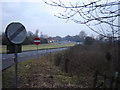
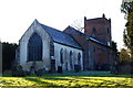
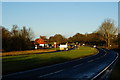
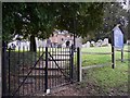
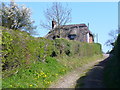
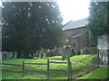
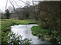
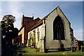
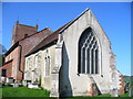
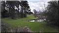
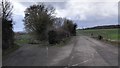
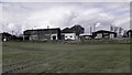
65 photos from this area
Area Information
Key information about the GU34 4FA including its size, population, and administrative classification.
- Area Type
- Postcode
- Area Size
- 12.2 hectares
- Population
- 1394
- Population Density
- 40 people/km²
House Prices in GU34 4FA
6
Properties
£1,286,490
Average Sold Price
£1,160,000
Lowest Price
£1,400,000
Highest Price
Showing 6 properties
| Address | Type | Beds | Baths | Last Sale Price | Last Sale Date | |
|---|---|---|---|---|---|---|
| 3 Fiennes Lane, Upper Froyle, Alton, GU34 4FA | Detached | 5 | 3 | £1,330,000 | Jul 2024 | |
| 5 Fiennes Lane, Upper Froyle, Alton, GU34 4FA | Retail | 5 | 3 | £1,400,000 | Jul 2022 | |
| 1 Fiennes Lane, Upper Froyle, Alton, GU34 4FA | house | - | - | £1,200,000 | Jul 2019 | |
| 7 Fiennes Lane, Upper Froyle, Alton, GU34 4FA | house | - | - | £1,363,941 | Oct 2017 | |
| 2 Fiennes Lane, Upper Froyle, Alton, GU34 4FA | Retail | 5 | 3 | £1,160,000 | Aug 2017 | |
| 4 Fiennes Lane, Upper Froyle, Alton, GU34 4FA | house | - | - | £1,265,000 | Dec 2016 |
Energy Efficiency in GU34 4FA
Amenities
Schools
| Rank | School | Type | Entry gender | Ages |
|---|
Explore more schools in this area
Go to Schools tabDemographics
Household Size
Two person
most common
Accommodation Type
Houses
most common
Tenure
76
majority
Ethnic Group
White
most common
Religion
N/A
most common
Household Composition
N/A
most common
Age
47
median
Adults (30-64 years)
most common
Household Deprivation
N/A
with no deprivation
NS-SEC
51
in Lower managerial occupations
Explore more demographic insights in this area
Go to Demographics tabPlanning
Planning Constraints
- Flood RiskPremium
- Ramsar Wetland SitesPremium
- Area of Outstanding Natural BeautyPremium
- Protected Nature ReservePremium
- Protected WoodlandPremium