Area Overview for GU34 4BW
Photos of GU34 4BW
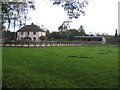
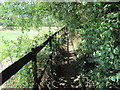
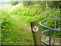
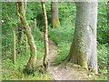

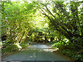
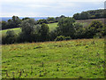
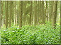
14 photos from this area
Area Information
Key information about the GU34 4BW including its size, population, and administrative classification.
- Area Type
- Postcode
- Area Size
- 47.0 hectares
- Population
- 1394
- Population Density
- 40 people/km²
House Prices in GU34 4BW
29
Properties
£860,706
Average Sold Price
£190,000
Lowest Price
£1,700,000
Highest Price
Showing 29 properties
| Address | Type | Beds | Baths | Last Sale Price | Last Sale Date | |
|---|---|---|---|---|---|---|
| Beech Cottage, Old Odiham Road, Shalden, Alton, GU34 4BW | Detached | 4 | 2 | £975,000 | Nov 2025 | |
| Richmond Place, Old Odiham Road, Shalden, Alton, GU34 4BW | Detached | 5 | 5 | £1,700,000 | Sep 2022 | |
| Portlands, Old Odiham Road, Shalden, Alton, GU34 4BW | Detached | 5 | 2 | £1,100,000 | Apr 2022 | |
| Farriers Court, Old Odiham Road, Shalden, Alton, GU34 4BW | house | - | - | £313,000 | Apr 2022 | |
| Holly House, Old Odiham Road, Shalden, Alton, GU34 4BW | house | - | - | £1,625,000 | Jan 2022 | |
| Jordans, Old Odiham Road, Shalden, Alton, GU34 4BW | house | - | - | £930,000 | Aug 2021 | |
| Pippins, Old Odiham Road, Shalden, Alton, GU34 4BW | Detached | 4 | 3 | £900,000 | Jun 2020 | |
| Sheen, Old Odiham Road, Shalden, Alton, GU34 4BW | Bungalow | 4 | 2 | £910,000 | Oct 2019 | |
| The Granary, Old Odiham Road, Shalden, Alton, GU34 4BW | Semi-detached | 4 | 2 | £635,000 | May 2019 | |
| Woodview, Old Odiham Road, Shalden, Alton, GU34 4BW | Detached | 5 | 2 | £300,000 | Feb 2019 |
Page 1 of 3
Energy Efficiency in GU34 4BW
Amenities
Schools
| Rank | School | Type | Entry gender | Ages |
|---|
Explore more schools in this area
Go to Schools tabDemographics
Household Size
Two person
most common
Accommodation Type
Houses
most common
Tenure
76
majority
Ethnic Group
White
most common
Religion
N/A
most common
Household Composition
N/A
most common
Age
47
median
Adults (30-64 years)
most common
Household Deprivation
N/A
with no deprivation
NS-SEC
51
in Lower managerial occupations
Explore more demographic insights in this area
Go to Demographics tabPlanning
Planning Constraints
- Flood RiskPremium
- Ramsar Wetland SitesPremium
- Area of Outstanding Natural BeautyPremium
- Protected Nature ReservePremium
- Protected WoodlandPremium