Area Overview for GU34 4AE
Photos of GU34 4AE
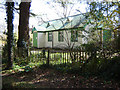
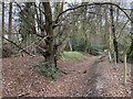
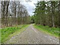
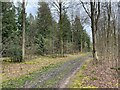
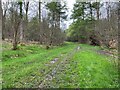
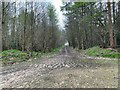
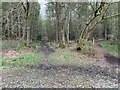
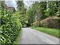
29 photos from this area
Area Information
Key information about the GU34 4AE including its size, population, and administrative classification.
- Area Type
- Postcode
- Area Size
- 85.1 hectares
- Population
- 2559
- Population Density
- 55 people/km²
House Prices in GU34 4AE
44
Properties
£526,991
Average Sold Price
£195,000
Lowest Price
£1,375,000
Highest Price
Showing 44 properties
| Address | Type | Beds | Baths | Last Sale Price | Last Sale Date | |
|---|---|---|---|---|---|---|
| Leylong, 67 Medstead Road, Beech, Alton, GU34 4AE | Bungalow | 4 | 2 | £627,500 | Oct 2025 | |
| Rosette, 81 Medstead Road, Beech, Alton, GU34 4AE | Bungalow | 3 | 1 | £565,000 | Jul 2025 | |
| 76 Medstead Road, Beech, Alton, GU34 4AE | Bungalow | 5 | 2 | £850,000 | Sep 2023 | |
| 43 Medstead Road, Beech, Alton, GU34 4AE | house | - | - | £1,010,000 | Aug 2022 | |
| Robbers Roost, 89 Medstead Road, Beech, Alton, GU34 4AE | Bungalow | - | - | £480,000 | Oct 2020 | |
| 47 Medstead Road, Beech, Alton, GU34 4AE | Detached | 5 | - | £730,000 | Jul 2019 | |
| Amherst House, 45A Medstead Road, Beech, Alton, GU34 4AE | Detached | - | - | £1,375,000 | Jan 2019 | |
| Spinneys, 71 Medstead Road, Beech, Alton, GU34 4AE | house | - | - | £650,000 | Sep 2018 | |
| 69 Medstead Road, Beech, Alton, GU34 4AE | Detached | 5 | 2 | £665,000 | May 2018 | |
| Glenavy, 75 Medstead Road, Beech, Alton, GU34 4AE | Detached | 4 | 2 | £535,000 | Aug 2017 |
Page 1 of 5
Energy Efficiency in GU34 4AE
Amenities
Schools
| Rank | School | Type | Entry gender | Ages |
|---|
Explore more schools in this area
Go to Schools tabDemographics
Household Size
Two person
most common
Accommodation Type
Houses
most common
Tenure
81
majority
Ethnic Group
White
most common
Religion
N/A
most common
Household Composition
N/A
most common
Age
47
median
Adults (30-64 years)
most common
Household Deprivation
N/A
with no deprivation
NS-SEC
49
in Lower managerial occupations
Explore more demographic insights in this area
Go to Demographics tabPlanning
Planning Constraints
- Flood RiskPremium
- Ramsar Wetland SitesPremium
- Area of Outstanding Natural BeautyPremium
- Protected Nature ReservePremium
- Protected WoodlandPremium