Area Overview for GU34 3EH
Photos of GU34 3EH


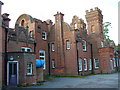
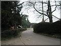
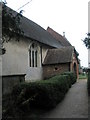
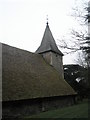

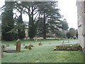
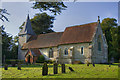


95 photos from this area
Area Information
Key information about the GU34 3EH including its size, population, and administrative classification.
- Area Type
- Postcode
- Area Size
- 3.3 hectares
- Population
- 2559
- Population Density
- 55 people/km²
House Prices in GU34 3EH
11
Properties
£623,606
Average Sold Price
£238,000
Lowest Price
£1,050,000
Highest Price
Showing 11 properties
| Address | Type | Beds | Baths | Last Sale Price | Last Sale Date | |
|---|---|---|---|---|---|---|
| Magnolias, Church Road, Upper Farringdon, Alton, GU34 3EH | Bungalow | 3 | 2 | £797,000 | Jan 2025 | |
| Fair Meadows, Church Road, Upper Farringdon, Alton, GU34 3EH | Retail | 3 | 2 | £699,950 | Mar 2022 | |
| Bella Vista, Church Road, Upper Farringdon, Alton, GU34 3EH | Bungalow | 3 | 2 | £505,000 | Nov 2021 | |
| Rosebank, Church Road, Upper Farringdon, Alton, GU34 3EH | Bungalow | 2 | 1 | £585,000 | Feb 2021 | |
| Cedar Wood, Church Road, Upper Farringdon, Alton, GU34 3EH | Bungalow | - | - | £605,000 | Jul 2017 | |
| The Paddocks, Church Road, Upper Farringdon, Alton, GU34 3EH | house | - | - | £1,050,000 | Aug 2015 | |
| Farringdon Place, Church Road, Upper Farringdon, Alton, GU34 3EH | Retail | 3 | 2 | £830,000 | Jul 2006 | |
| Clermont, Church Road, Upper Farringdon, Alton, GU34 3EH | Bungalow | 3 | 1 | £302,500 | Sep 2003 | |
| Little Place, Church Road, Upper Farringdon, Alton, GU34 3EH | Detached | - | - | £238,000 | Jul 1999 | |
| Jasmine, Church Road, Upper Farringdon, Alton, GU34 3EH | Detached | - | - | - | - |
Page 1 of 2
Energy Efficiency in GU34 3EH
Amenities
Schools
| Rank | School | Type | Entry gender | Ages |
|---|
Explore more schools in this area
Go to Schools tabDemographics
Household Size
Two person
most common
Accommodation Type
Houses
most common
Tenure
81
majority
Ethnic Group
White
most common
Religion
N/A
most common
Household Composition
N/A
most common
Age
47
median
Adults (30-64 years)
most common
Household Deprivation
N/A
with no deprivation
NS-SEC
49
in Lower managerial occupations
Explore more demographic insights in this area
Go to Demographics tabPlanning
Planning Constraints
- Flood RiskPremium
- Ramsar Wetland SitesPremium
- Area of Outstanding Natural BeautyPremium
- Protected Nature ReservePremium
- Protected WoodlandPremium