Area Overview for GU34 3DG
Photos of GU34 3DG
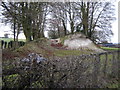
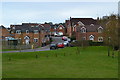
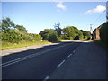
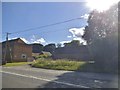
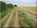
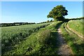
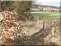
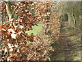


17 photos from this area
Area Information
Key information about the GU34 3DG including its size, population, and administrative classification.
- Area Type
- Postcode
- Area Size
- 5944 m²
- Population
- 2559
- Population Density
- 55 people/km²
House Prices in GU34 3DG
7
Properties
£366,325
Average Sold Price
£308,000
Lowest Price
£407,000
Highest Price
Showing 7 properties
| Address | Type | Beds | Baths | Last Sale Price | Last Sale Date | |
|---|---|---|---|---|---|---|
| Sparrows, Brightstone Lane, Lower Farringdon, Alton, GU34 3DG | Semi-detached | 3 | 1 | £386,000 | May 2021 | |
| Barn Owls, Brightstone Lane, Lower Farringdon, Alton, GU34 3DG | Semi-detached | 2 | 1 | £308,000 | Jul 2017 | |
| Wychcroft, 4 Brightstone Lane, Lower Farringdon, Alton, GU34 3DG | Detached | 3 | - | £407,000 | Nov 2015 | |
| Willow End, Brightstone Lane, Lower Farringdon, Alton, GU34 3DG | house | 3 | - | £355,000 | Sep 2011 | |
| Cedar House, Brightstone Lane, Lower Farringdon, Alton, GU34 3DG | Detached | - | - | £399,950 | Nov 2006 | |
| October House, Brightstone Lane, Lower Farringdon, Alton, GU34 3DG | Detached | - | - | £342,000 | Mar 2006 | |
| Street House Barn, Brightstone Lane, Lower Farringdon, Alton, GU34 3DG | Detached | - | - | - | - |
Energy Efficiency in GU34 3DG
Amenities
Schools
| Rank | School | Type | Entry gender | Ages |
|---|
Explore more schools in this area
Go to Schools tabDemographics
Household Size
Two person
most common
Accommodation Type
Houses
most common
Tenure
81
majority
Ethnic Group
White
most common
Religion
N/A
most common
Household Composition
N/A
most common
Age
47
median
Adults (30-64 years)
most common
Household Deprivation
N/A
with no deprivation
NS-SEC
49
in Lower managerial occupations
Explore more demographic insights in this area
Go to Demographics tabPlanning
Planning Constraints
- Flood RiskPremium
- Ramsar Wetland SitesPremium
- Area of Outstanding Natural BeautyPremium
- Protected Nature ReservePremium
- Protected WoodlandPremium