Area Overview for GU34 2DE
Photos of GU34 2DE
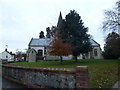
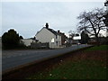
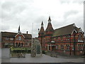
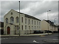
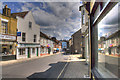
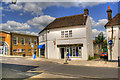
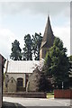
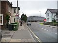
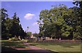
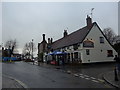
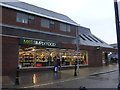
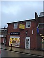
99 photos from this area
Area Information
Key information about the GU34 2DE including its size, population, and administrative classification.
- Area Type
- Postcode
- Area Size
- 1.2 hectares
- Population
- 1547
- Population Density
- 4531 people/km²
House Prices in GU34 2DE
30
Properties
£374,607
Average Sold Price
£72,000
Lowest Price
£645,000
Highest Price
Showing 30 properties
| Address | Type | Beds | Baths | Last Sale Price | Last Sale Date | |
|---|---|---|---|---|---|---|
| 76 Victoria Road, Alton, GU34 2DE | Detached | 4 | 2 | £645,000 | Mar 2025 | |
| The Cottage, 78 Victoria Road, Alton, GU34 2DE | Detached | 3 | 2 | £495,000 | Jan 2025 | |
| 95 Victoria Road, Alton, GU34 2DE | Detached | 3 | 2 | £450,000 | Sep 2023 | |
| 58 Victoria Road, Alton, GU34 2DE | Semi-detached | 4 | 2 | £435,500 | Mar 2021 | |
| 66 Victoria Road, Alton, GU34 2DE | house | 4 | 2 | £550,000 | Jan 2021 | |
| 101 Victoria Road, Alton, GU34 2DE | house | - | - | £412,000 | Oct 2020 | |
| 64 Victoria Road, Alton, GU34 2DE | house | - | - | £340,000 | Sep 2020 | |
| Just Jemabel, 97 Victoria Road, Alton, GU34 2DE | Bungalow | 3 | 1 | £395,000 | Jul 2018 | |
| 74 Victoria Road, Alton, GU34 2DE | Detached | 3 | 2 | £365,000 | Jan 2016 | |
| 99 Victoria Road, Alton, GU34 2DE | house | - | - | £300,000 | May 2015 |
Page 1 of 3
Energy Efficiency in GU34 2DE
Amenities
Schools
| Rank | School | Type | Entry gender | Ages |
|---|
Explore more schools in this area
Go to Schools tabDemographics
Household Size
One person
most common
Accommodation Type
Flats
most common
Tenure
39
majority
Ethnic Group
White
most common
Religion
N/A
most common
Household Composition
N/A
most common
Age
47
median
Adults (30-64 years)
most common
Household Deprivation
N/A
with no deprivation
NS-SEC
31
in Lower managerial occupations
Explore more demographic insights in this area
Go to Demographics tabPlanning
Planning Constraints
- Flood RiskPremium
- Ramsar Wetland SitesPremium
- Area of Outstanding Natural BeautyPremium
- Protected Nature ReservePremium
- Protected WoodlandPremium