Area Overview for GU34 2BG
Photos of GU34 2BG
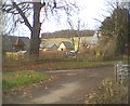
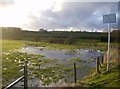
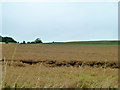
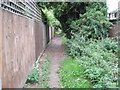
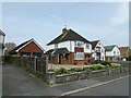
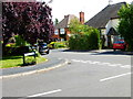
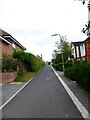
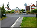
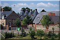
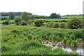
14 photos from this area
Area Information
Key information about the GU34 2BG including its size, population, and administrative classification.
- Area Type
- Postcode
- Area Size
- 5.9 hectares
- Population
- 1161
- Population Density
- 3518 people/km²
House Prices in GU34 2BG
60
Properties
£211,366
Average Sold Price
£42,500
Lowest Price
£400,000
Highest Price
Showing 60 properties
| Address | Type | Beds | Baths | Last Sale Price | Last Sale Date | |
|---|---|---|---|---|---|---|
| 53 Tilney Close, Alton, GU34 2BG | Flat | 1 | 1 | £180,000 | Jul 2025 | |
| 39 Tilney Close, Alton, GU34 2BG | Maisonette | 1 | 1 | £165,000 | Mar 2025 | |
| 73 Tilney Close, Alton, GU34 2BG | house | - | - | £240,000 | Jun 2024 | |
| 23 Tilney Close, Alton, GU34 2BG | house | - | - | £360,000 | Aug 2023 | |
| 67 Tilney Close, Alton, GU34 2BG | Flat | 1 | 1 | £176,500 | May 2023 | |
| 33 Tilney Close, Alton, GU34 2BG | Semi-detached | 4 | 2 | £400,000 | Apr 2023 | |
| 15 Tilney Close, Alton, GU34 2BG | Terraced | 4 | 2 | £375,000 | Jan 2022 | |
| 13 Tilney Close, Alton, GU34 2BG | Terraced | 3 | 1 | £290,000 | Dec 2021 | |
| 34 Tilney Close, Alton, GU34 2BG | house | - | - | £335,000 | Dec 2021 | |
| 47 Tilney Close, Alton, GU34 2BG | Flat | - | - | £193,000 | Sep 2021 |
Page 1 of 6
Energy Efficiency in GU34 2BG
Amenities
Schools
| Rank | School | Type | Entry gender | Ages |
|---|
Explore more schools in this area
Go to Schools tabDemographics
Household Size
Two person
most common
Accommodation Type
Houses
most common
Tenure
82
majority
Ethnic Group
White
most common
Religion
N/A
most common
Household Composition
N/A
most common
Age
47
median
Adults (30-64 years)
most common
Household Deprivation
N/A
with no deprivation
NS-SEC
37
in Lower managerial occupations
Explore more demographic insights in this area
Go to Demographics tabPlanning
Planning Constraints
- Flood RiskPremium
- Ramsar Wetland SitesPremium
- Area of Outstanding Natural BeautyPremium
- Protected Nature ReservePremium
- Protected WoodlandPremium