Area Overview for GU34 2AX
Photos of GU34 2AX
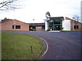

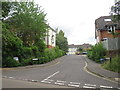
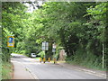
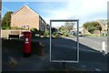
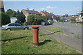
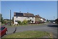
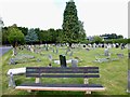

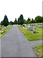
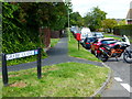
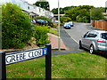
14 photos from this area
Area Information
Key information about the GU34 2AX including its size, population, and administrative classification.
- Area Type
- Postcode
- Area Size
- 1.6 hectares
- Population
- 1104
- Population Density
- 2264 people/km²
House Prices in GU34 2AX
40
Properties
£268,184
Average Sold Price
£53,950
Lowest Price
£505,000
Highest Price
Showing 40 properties
| Address | Type | Beds | Baths | Last Sale Price | Last Sale Date | |
|---|---|---|---|---|---|---|
| 71 Cherry Way, Alton, GU34 2AX | Semi-detached | 3 | 1 | £380,000 | Mar 2025 | |
| 48 Cherry Way, Alton, GU34 2AX | Maisonette | 2 | 1 | £245,000 | Nov 2024 | |
| 65 Cherry Way, Alton, GU34 2AX | Semi-detached | 3 | 1 | £330,000 | May 2023 | |
| 43 Cherry Way, Alton, GU34 2AX | house | - | - | £420,000 | Dec 2022 | |
| 62 Cherry Way, Alton, GU34 2AX | Maisonette | 2 | 1 | £232,500 | Mar 2022 | |
| 66 Cherry Way, Alton, GU34 2AX | Semi-detached | 3 | 1 | £335,000 | Sep 2021 | |
| 34 Cherry Way, Alton, GU34 2AX | Detached | 4 | - | £505,000 | Jan 2021 | |
| 75 Cherry Way, Alton, GU34 2AX | Semi-detached | 3 | 1 | £300,000 | Sep 2020 | |
| 52 Cherry Way, Alton, GU34 2AX | Flat | - | - | £205,000 | Jun 2020 | |
| 60 Cherry Way, Alton, GU34 2AX | Flat | - | - | £240,000 | Apr 2020 |
Page 1 of 4
Energy Efficiency in GU34 2AX
Amenities
Schools
| Rank | School | Type | Entry gender | Ages |
|---|
Explore more schools in this area
Go to Schools tabDemographics
Household Size
Two person
most common
Accommodation Type
Houses
most common
Tenure
82
majority
Ethnic Group
White
most common
Religion
N/A
most common
Household Composition
N/A
most common
Age
47
median
Adults (30-64 years)
most common
Household Deprivation
N/A
with no deprivation
NS-SEC
37
in Lower managerial occupations
Explore more demographic insights in this area
Go to Demographics tabPlanning
Planning Constraints
- Flood RiskPremium
- Ramsar Wetland SitesPremium
- Area of Outstanding Natural BeautyPremium
- Protected Nature ReservePremium
- Protected WoodlandPremium