Area Overview for GU34 1QB
Photos of GU34 1QB
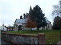
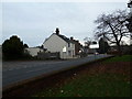
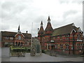
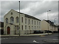
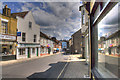
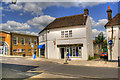
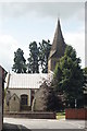
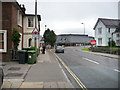
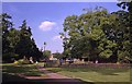
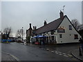
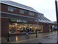
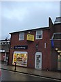
99 photos from this area
Area Information
Key information about the GU34 1QB including its size, population, and administrative classification.
- Area Type
- Postcode
- Area Size
- 1.1 hectares
- Population
- 1740
- Population Density
- 1060 people/km²
House Prices in GU34 1QB
12
Properties
£413,563
Average Sold Price
£156,000
Lowest Price
£730,000
Highest Price
Showing 12 properties
| Address | Type | Beds | Baths | Last Sale Price | Last Sale Date | |
|---|---|---|---|---|---|---|
| Cleveland, 11 Basingstoke Road, Alton, GU34 1QB | Detached | 4 | 2 | £730,000 | Jan 2022 | |
| Waterfields, 23 Basingstoke Road, Alton, GU34 1QB | house | 4 | - | £525,000 | Aug 2010 | |
| 7 Basingstoke Road, Alton, GU34 1QB | house | 4 | - | £540,000 | Aug 2010 | |
| Ridge View, 21 Basingstoke Road, Alton, GU34 1QB | house | - | - | £457,500 | Jul 2010 | |
| Whirlow, 17 Basingstoke Road, Alton, GU34 1QB | Detached | - | - | £390,000 | Jan 2007 | |
| Braemar, 25 Basingstoke Road, Alton, GU34 1QB | Detached | 5 | 3 | £320,000 | Jul 2001 | |
| Greenacres, 19 Basingstoke Road, Alton, GU34 1QB | Detached | 4 | 2 | £190,000 | May 1998 | |
| The White Cottage, 3 Basingstoke Road, Alton, GU34 1QB | Detached | - | - | £156,000 | Oct 1997 | |
| The Birches, 5 Basingstoke Road, Alton, GU34 1QB | Detached | - | - | - | - | |
| Byways, 9 Basingstoke Road, Alton, GU34 1QB | Detached | - | - | - | - |
Page 1 of 2
Energy Efficiency in GU34 1QB
Amenities
Schools
| Rank | School | Type | Entry gender | Ages |
|---|
Explore more schools in this area
Go to Schools tabDemographics
Household Size
Two person
most common
Accommodation Type
Houses
most common
Tenure
84
majority
Ethnic Group
White
most common
Religion
N/A
most common
Household Composition
N/A
most common
Age
47
median
Adults (30-64 years)
most common
Household Deprivation
N/A
with no deprivation
NS-SEC
48
in Lower managerial occupations
Explore more demographic insights in this area
Go to Demographics tabPlanning
Planning Constraints
- Flood RiskPremium
- Ramsar Wetland SitesPremium
- Area of Outstanding Natural BeautyPremium
- Protected Nature ReservePremium
- Protected WoodlandPremium