Area Overview for GU33 7PQ
Photos of GU33 7PQ
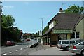
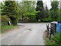
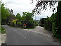
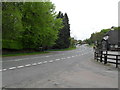
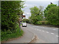
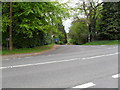

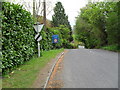
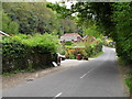
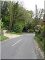
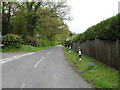
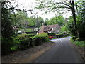
100 photos from this area
Area Information
Key information about the GU33 7PQ including its size, population, and administrative classification.
- Area Type
- Postcode
- Area Size
- 4.1 hectares
- Population
- 1127
- Population Density
- 42 people/km²
House Prices in GU33 7PQ
27
Properties
£517,025
Average Sold Price
£132,500
Lowest Price
£985,000
Highest Price
Showing 27 properties
| Address | Type | Beds | Baths | Last Sale Price | Last Sale Date | |
|---|---|---|---|---|---|---|
| Honeysuckle House, London Road, Rake, Rogate, GU33 7PQ | house | 4 | 3 | £850,000 | Aug 2025 | |
| Homewood, London Road, Rake, Rogate, GU33 7PQ | Detached | 4 | 3 | £985,000 | May 2025 | |
| Floradeane, London Road, Rake, Rogate, GU33 7PQ | Bungalow | 4 | 2 | £711,000 | Nov 2024 | |
| Windyridge, London Road, Rake, Rogate, GU33 7PQ | Bungalow | - | - | £600,000 | May 2024 | |
| The Weald, London Road, Rake, Rogate, GU33 7PQ | house | - | - | £904,000 | May 2022 | |
| 3, Fir Tree Cottages, London Road, Rake, Rogate, GU33 7PQ | house | 3 | 1 | £350,000 | Feb 2022 | |
| Carmen, London Road, Rake, Rogate, GU33 7PQ | Terraced | 3 | 1 | £445,000 | Sep 2021 | |
| Coombeside, London Road, Rake, Rogate, GU33 7PQ | Detached | 4 | 3 | £875,000 | Jun 2021 | |
| Woodside, London Road, Rake, Rogate, GU33 7PQ | house | - | - | £407,500 | Jun 2018 | |
| Le Dormaine, London Road, Rake, Rogate, GU33 7PQ | Detached | 5 | - | £700,000 | Aug 2016 |
Page 1 of 3
Energy Efficiency in GU33 7PQ
Amenities
Schools
| Rank | School | Type | Entry gender | Ages |
|---|
Explore more schools in this area
Go to Schools tabDemographics
Household Size
Two person
most common
Accommodation Type
Houses
most common
Tenure
80
majority
Ethnic Group
White
most common
Religion
N/A
most common
Household Composition
N/A
most common
Age
47
median
Adults (30-64 years)
most common
Household Deprivation
N/A
with no deprivation
NS-SEC
48
in Lower managerial occupations
Explore more demographic insights in this area
Go to Demographics tabPlanning
Planning Constraints
- Flood RiskPremium
- Ramsar Wetland SitesPremium
- Area of Outstanding Natural BeautyPremium
- Protected Nature ReservePremium
- Protected WoodlandPremium