Area Overview for GU33 7BJ
Photos of GU33 7BJ
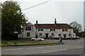
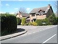
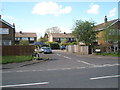
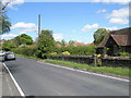
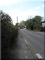
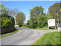
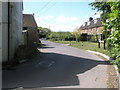
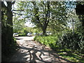
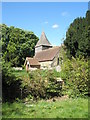
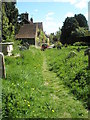
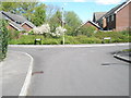
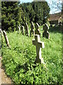
89 photos from this area
Area Information
Key information about the GU33 7BJ including its size, population, and administrative classification.
- Area Type
- Postcode
- Area Size
- 4.5 hectares
- Population
- 1137
- Population Density
- 494 people/km²
House Prices in GU33 7BJ
19
Properties
£312,409
Average Sold Price
£67,000
Lowest Price
£575,000
Highest Price
Showing 19 properties
| Address | Type | Beds | Baths | Last Sale Price | Last Sale Date | |
|---|---|---|---|---|---|---|
| 19 Rotherbank Farm Lane, Liss, GU33 7BJ | Bungalow | 2 | - | £575,000 | Mar 2021 | |
| 3 Rotherbank Farm Lane, Liss, GU33 7BJ | Semi-detached | 3 | 2 | £335,000 | Apr 2020 | |
| 25 Rotherbank Farm Lane, Liss, GU33 7BJ | house | - | - | £425,000 | Aug 2019 | |
| 17 Rotherbank Farm Lane, Liss, GU33 7BJ | Semi-detached | 3 | - | £267,000 | Oct 2014 | |
| 7 Rotherbank Farm Lane, Liss, GU33 7BJ | Bungalow | 3 | - | £237,500 | Feb 2012 | |
| 29 Rotherbank Farm Lane, Liss, GU33 7BJ | Detached | - | - | £400,000 | Oct 2006 | |
| 31 Rotherbank Farm Lane, Liss, GU33 7BJ | Detached | - | - | £375,000 | Apr 2004 | |
| 1 Rotherbank Farm Lane, Liss, GU33 7BJ | Detached | - | - | £285,000 | Jan 2004 | |
| 9 Rotherbank Farm Lane, Liss, GU33 7BJ | Semi-detached | - | - | £220,000 | Jul 2003 | |
| 23 Rotherbank Farm Lane, Liss, GU33 7BJ | Detached | - | - | £250,000 | Aug 2002 |
Page 1 of 2
Energy Efficiency in GU33 7BJ
Amenities
Schools
| Rank | School | Type | Entry gender | Ages |
|---|
Explore more schools in this area
Go to Schools tabDemographics
Household Size
Two person
most common
Accommodation Type
Houses
most common
Tenure
84
majority
Ethnic Group
White
most common
Religion
N/A
most common
Household Composition
N/A
most common
Age
47
median
Adults (30-64 years)
most common
Household Deprivation
N/A
with no deprivation
NS-SEC
44
in Lower managerial occupations
Explore more demographic insights in this area
Go to Demographics tabPlanning
Planning Constraints
- Flood RiskPremium
- Ramsar Wetland SitesPremium
- Area of Outstanding Natural BeautyPremium
- Protected Nature ReservePremium
- Protected WoodlandPremium