Area Overview for GU32 3LH
Photos of GU32 3LH
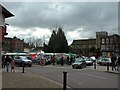
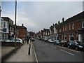
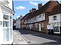
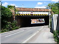
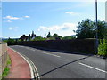
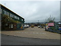
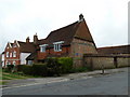
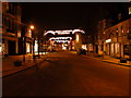
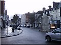
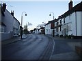
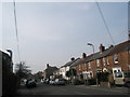
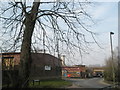
100 photos from this area
Area Information
Key information about the GU32 3LH including its size, population, and administrative classification.
- Area Type
- Postcode
- Area Size
- 2.3 hectares
- Population
- 1438
- Population Density
- 4051 people/km²
House Prices in GU32 3LH
35
Properties
£84,358
Average Sold Price
£26,250
Lowest Price
£190,000
Highest Price
Showing 35 properties
| Address | Type | Beds | Baths | Last Sale Price | Last Sale Date | |
|---|---|---|---|---|---|---|
| 12 Alderfield, Petersfield, GU32 3LH | Flat | - | - | £190,000 | Apr 2018 | |
| 24 Alderfield, Petersfield, GU32 3LH | Flat | - | - | £100,000 | Feb 2018 | |
| 27 Alderfield, Petersfield, GU32 3LH | Flat | - | - | £95,500 | Feb 2018 | |
| 19 Alderfield, Petersfield, GU32 3LH | Flat | - | - | £87,500 | Oct 2011 | |
| 15 Alderfield, Petersfield, GU32 3LH | Flat | 2 | 1 | £100,000 | Jul 2010 | |
| 21 Alderfield, Petersfield, GU32 3LH | Flat | - | - | £109,900 | Mar 2010 | |
| 29 Alderfield, Petersfield, GU32 3LH | Flat | - | - | £90,000 | Jul 2009 | |
| 33 Alderfield, Petersfield, GU32 3LH | Flat | 2 | 1 | £101,500 | Feb 2009 | |
| 31 Alderfield, Petersfield, GU32 3LH | Flat | - | - | £105,000 | Jun 2007 | |
| 10 Alderfield, Petersfield, GU32 3LH | Flat | - | - | £134,950 | May 2004 |
Page 1 of 4
Energy Efficiency in GU32 3LH
Amenities
Schools
| Rank | School | Type | Entry gender | Ages |
|---|
Explore more schools in this area
Go to Schools tabDemographics
Household Size
One person
most common
Accommodation Type
Houses
most common
Tenure
47
majority
Ethnic Group
White
most common
Religion
N/A
most common
Household Composition
N/A
most common
Age
47
median
Adults (30-64 years)
most common
Household Deprivation
N/A
with no deprivation
NS-SEC
29
in Lower managerial occupations
Explore more demographic insights in this area
Go to Demographics tabPlanning
Planning Constraints
- Flood RiskPremium
- Ramsar Wetland SitesPremium
- Area of Outstanding Natural BeautyPremium
- Protected Nature ReservePremium
- Protected WoodlandPremium