Area Overview for GU32 2JA
Photos of GU32 2JA
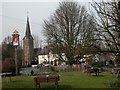
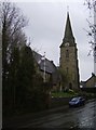
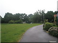
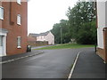
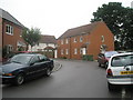
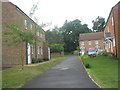
100 photos from this area
Area Information
Key information about the GU32 2JA including its size, population, and administrative classification.
- Area Type
- Postcode
- Area Size
- 1.4 hectares
- Population
- 2615
- Population Density
- 1241 people/km²
House Prices in GU32 2JA
20
Properties
£407,231
Average Sold Price
£102,000
Lowest Price
£652,000
Highest Price
Showing 20 properties
| Address | Type | Beds | Baths | Last Sale Price | Last Sale Date | |
|---|---|---|---|---|---|---|
| Orchard Rise, 87 Tilmore Gardens, Petersfield, GU32 2JA | Detached | 4 | 3 | £652,000 | Dec 2020 | |
| 55 Tilmore Gardens, Petersfield, GU32 2JA | Detached | 4 | 1 | £650,000 | Dec 2019 | |
| 77 Tilmore Gardens, Petersfield, GU32 2JA | Bungalow | 4 | - | £595,000 | Sep 2019 | |
| 84 Tilmore Gardens, Petersfield, GU32 2JA | Bungalow | - | - | £425,000 | Jan 2018 | |
| 75 Tilmore Gardens, Petersfield, GU32 2JA | house | - | - | £470,000 | Dec 2017 | |
| 72 Tilmore Gardens, Petersfield, GU32 2JA | Detached | 4 | - | £540,000 | Apr 2015 | |
| 82 Tilmore Gardens, Petersfield, GU32 2JA | Semi-detached | - | - | £320,000 | Jul 2009 | |
| 80 Tilmore Gardens, Petersfield, GU32 2JA | Bungalow | 3 | 2 | £260,000 | Dec 2005 | |
| 79 Tilmore Gardens, Petersfield, GU32 2JA | Bungalow | 3 | 3 | £390,000 | Dec 2005 | |
| 57 Tilmore Gardens, Petersfield, GU32 2JA | house | 4 | - | £350,000 | Nov 2004 |
Page 1 of 2
Energy Efficiency in GU32 2JA
Amenities
Schools
| Rank | School | Type | Entry gender | Ages |
|---|
Explore more schools in this area
Go to Schools tabDemographics
Household Size
Two person
most common
Accommodation Type
Houses
most common
Tenure
78
majority
Ethnic Group
White
most common
Religion
N/A
most common
Household Composition
N/A
most common
Age
47
median
Adults (30-64 years)
most common
Household Deprivation
N/A
with no deprivation
NS-SEC
49
in Lower managerial occupations
Explore more demographic insights in this area
Go to Demographics tabPlanning
Planning Constraints
- Flood RiskPremium
- Ramsar Wetland SitesPremium
- Area of Outstanding Natural BeautyPremium
- Protected Nature ReservePremium
- Protected WoodlandPremium