Area Overview for GU32 1DX
Photos of GU32 1DX
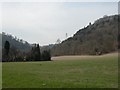
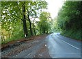
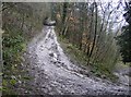
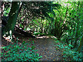
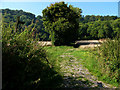
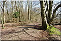
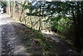
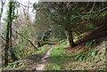
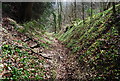
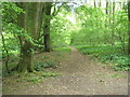
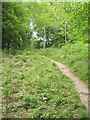
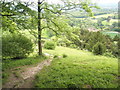
53 photos from this area
Area Information
Key information about the GU32 1DX including its size, population, and administrative classification.
- Area Type
- Postcode
- Area Size
- 46.0 hectares
- Population
- 2901
- Population Density
- 57 people/km²
House Prices in GU32 1DX
19
Properties
£879,500
Average Sold Price
£410,000
Lowest Price
£1,650,000
Highest Price
Showing 19 properties
| Address | Type | Beds | Baths | Last Sale Price | Last Sale Date | |
|---|---|---|---|---|---|---|
| Little Barn, Stoner Hill Road, Froxfield, Petersfield, GU32 1DX | Terraced | 3 | 1 | £557,500 | Sep 2025 | |
| Stoner End, Stoner Hill Road, Froxfield, Petersfield, GU32 1DX | house | - | - | £945,000 | Feb 2018 | |
| Greycroft, Stoner Hill Road, Froxfield, Petersfield, GU32 1DX | Detached | 4 | 3 | £1,650,000 | Aug 2015 | |
| Mulberry Cottage, Stoner Hill Road, Froxfield, Petersfield, GU32 1DX | house | - | - | £410,000 | Feb 2010 | |
| Greenhill House, Stoner Hill Road, Froxfield, Petersfield, GU32 1DX | Detached | - | - | £835,000 | Mar 2007 | |
| The Coach House, Stoner Hill Road, Froxfield, Petersfield, GU32 1DX | Detached | 5 | 3 | - | - | |
| 3, Stoner Hill Cottages, Stoner Hill Road, Froxfield, Petersfield, GU32 1DX | house | - | - | - | - | |
| Mayhills, Stoner Hill Road, Froxfield, Petersfield, GU32 1DX | Detached | 7 | 3 | - | - | |
| 1, Stoner Hill House, Stoner Hill Road, Froxfield, Petersfield, GU32 1DX | Detached | 5 | 2 | - | - | |
| Old Stoner Cottage, Stoner Hill Road, Froxfield, Petersfield, GU32 1DX | Detached | 7 | 3 | - | - |
Page 1 of 2
Energy Efficiency in GU32 1DX
Amenities
Schools
| Rank | School | Type | Entry gender | Ages |
|---|
Explore more schools in this area
Go to Schools tabDemographics
Household Size
Family (3-5 people)
most common
Accommodation Type
Houses
most common
Tenure
69
majority
Ethnic Group
White
most common
Religion
N/A
most common
Household Composition
N/A
most common
Age
47
median
Adults (30-64 years)
most common
Household Deprivation
N/A
with no deprivation
NS-SEC
44
in Lower managerial occupations
Explore more demographic insights in this area
Go to Demographics tabPlanning
Planning Constraints
- Flood RiskPremium
- Ramsar Wetland SitesPremium
- Area of Outstanding Natural BeautyPremium
- Protected Nature ReservePremium
- Protected WoodlandPremium