Area Overview for GU31 5LD
Photos of GU31 5LD
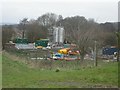
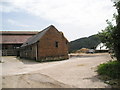
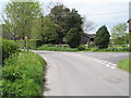
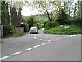
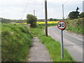
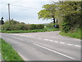
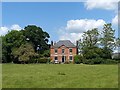
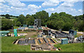
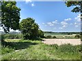
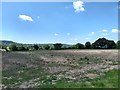
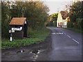
55 photos from this area
Area Information
Key information about the GU31 5LD including its size, population, and administrative classification.
- Area Type
- Postcode
- Area Size
- 12.9 hectares
- Population
- 2053
- Population Density
- 37 people/km²
House Prices in GU31 5LD
12
Properties
£598,388
Average Sold Price
£170,330
Lowest Price
£800,000
Highest Price
Showing 12 properties
| Address | Type | Beds | Baths | Last Sale Price | Last Sale Date | |
|---|---|---|---|---|---|---|
| Shaxson Hall, Elsted Road, South Harting, GU31 5LD | Detached | 4 | 3 | £800,000 | Jun 2024 | |
| The Cottage, Elsted Road, South Harting, GU31 5LD | house | - | - | £800,000 | Nov 2022 | |
| Sunnyside, Elsted Road, South Harting, GU31 5LD | Semi-detached | 4 | 2 | £765,000 | Feb 2021 | |
| Rock Cottage, Elsted Road, South Harting, GU31 5LD | Detached | 3 | 2 | £645,000 | Jan 2021 | |
| South Bank, Elsted Road, South Harting, GU31 5LD | house | 4 | - | £410,000 | May 2010 | |
| Horsesnap Barn, Elsted Road, South Harting, GU31 5LD | Terraced | 3 | 2 | £170,330 | Jun 1997 | |
| 2, Horses Knap, Elsted Road, South Harting, GU31 5LD | house | 4 | - | - | - | |
| 1, Horses Knap, Elsted Road, South Harting, GU31 5LD | Semi-detached | 3 | - | - | - | |
| The Forge, Elsted Road, South Harting, GU31 5LD | Detached | - | - | - | - | |
| South Harting Waste Water Treatment Works, Kent House Lane, East Harting, GU31 5LD | Industrial | - | - | - | - |
Page 1 of 2
Energy Efficiency in GU31 5LD
Amenities
Schools
| Rank | School | Type | Entry gender | Ages |
|---|
Explore more schools in this area
Go to Schools tabDemographics
Household Size
Two person
most common
Accommodation Type
Houses
most common
Tenure
71
majority
Ethnic Group
White
most common
Religion
N/A
most common
Household Composition
N/A
most common
Age
47
median
Adults (30-64 years)
most common
Household Deprivation
N/A
with no deprivation
NS-SEC
44
in Lower managerial occupations
Explore more demographic insights in this area
Go to Demographics tabPlanning
Planning Constraints
- Flood RiskPremium
- Ramsar Wetland SitesPremium
- Area of Outstanding Natural BeautyPremium
- Protected Nature ReservePremium
- Protected WoodlandPremium