Area Overview for GU31 5HZ
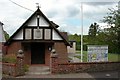
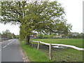
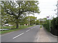
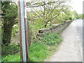
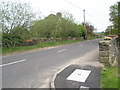
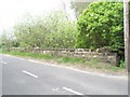
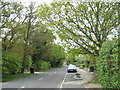
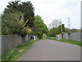
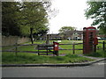
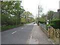
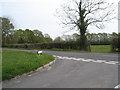
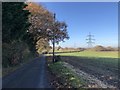
Photos of GU31 5HZ
Area Information
GU31 5HZ is a small residential cluster in England, covering 5,607 square metres and home to 2,053 residents. Its low population density of 37 people per square kilometre suggests a quiet, spread-out community, ideal for those seeking a peaceful environment without urban congestion. The area’s character is defined by its stable demographic profile, with a median age of 47 and a majority of residents aged 30–64. This suggests a mature, established population, likely with strong ties to local amenities and services. The presence of nearby rail stations and a mix of retail outlets within walking distance indicates a practical, family-friendly setup. While the area is small, its proximity to Petersfield and surrounding towns offers access to broader opportunities. For buyers, GU31 5HZ represents a balance between seclusion and connectivity, with a focus on homeownership and long-term stability.
- Area Type
- Postcode
- Area Size
- 5607 m²
- Population
- 2053
- Population Density
- 37 people/km²
The property market in GU31 5HZ is characterised by high home ownership (71%) and a predominance of houses, which reflects a suburban, family-oriented environment. This suggests the area is not a rental hotspot but rather a place where residents are likely to settle long-term. The limited size of the postcode area means the housing stock is small, potentially making the market competitive for buyers. The focus on owner-occupied homes indicates a stable demand, with properties likely retaining value over time. For those considering purchase, the availability of houses rather than flats may appeal to those seeking more space or garden areas. However, the small scale of the area means buyers should explore nearby postcodes for additional options.
House Prices in GU31 5HZ
No properties found in this postcode.
Energy Efficiency in GU31 5HZ
The lifestyle in GU31 5HZ is shaped by its proximity to retail and transport hubs. Within walking distance are five retail outlets, including The Southern Co-operative Co, Asda Ramshill, and M&S Petersfield SF, offering everyday shopping needs. The nearby rail stations provide access to Petersfield’s broader amenities, including dining, leisure, and cultural attractions. While the area itself lacks detailed listings for parks or leisure facilities, the combination of local shops and rail links ensures residents can easily access a range of services. This setup supports a practical, low-maintenance lifestyle, ideal for those who prefer convenience over extensive local amenities. The mix of retail and transport options makes daily life efficient, though those seeking extensive leisure facilities may need to venture further afield.
Amenities
Schools
The nearest school to GU31 5HZ is Harting CofE Primary School, which serves the local community with a good Ofsted rating. This school is a key asset for families, offering a reliable primary education within practical reach. The absence of secondary schools in the immediate area means parents may need to look to Petersfield or nearby towns for secondary education, but the primary school’s quality mitigates this limitation. The presence of a single, well-rated primary school suggests a focus on early education, which aligns with the area’s mature demographic profile. For families prioritising strong local schooling, Harting CofE Primary School provides a solid foundation, though additional research into nearby secondary options is advisable.
| Rank | School | Type | Entry gender | Ages |
|---|
Explore more schools in this area
Go to Schools tabDemographics
The community in GU31 5HZ is predominantly composed of adults aged 30–64, reflecting a mature population with a median age of 47. This age range suggests a mix of established families and professionals, likely contributing to a stable, low-turnover neighbourhood. Homeownership is high, with 71% of residents owning their homes, indicating a preference for long-term investment over rental properties. The accommodation type is primarily houses, which aligns with the area’s low density and suburban feel. The predominant ethnic group is White, though no specific diversity metrics are provided. The absence of detailed deprivation data means the quality of life here is inferred from the low crime risk and access to amenities. This profile suggests a community focused on comfort, security, and proximity to essential services.
Household Size
Accommodation Type
Tenure
Ethnic Group
Religion
Household Composition
Age
Household Deprivation
NS-SEC
Explore more demographic insights in this area
Go to Demographics tabPlanning
Planning Constraints
- Flood RiskPremium
- Ramsar Wetland SitesPremium
- Area of Outstanding Natural BeautyPremium
- Protected Nature ReservePremium
- Protected WoodlandPremium