Area Overview for GU31 5HG
Photos of GU31 5HG
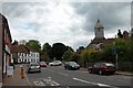
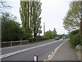
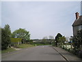
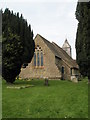
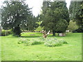
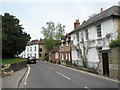
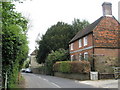

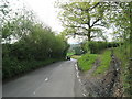
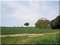
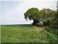
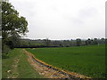
100 photos from this area
Area Information
Key information about the GU31 5HG including its size, population, and administrative classification.
- Area Type
- Postcode
- Area Size
- 3.4 hectares
- Population
- 1338
- Population Density
- 66 people/km²
House Prices in GU31 5HG
12
Properties
£664,167
Average Sold Price
£228,000
Lowest Price
£2,077,500
Highest Price
Showing 12 properties
| Address | Type | Beds | Baths | Last Sale Price | Last Sale Date | |
|---|---|---|---|---|---|---|
| Old Farm Cottage, North Street, Rogate, GU31 5HG | Cottage | 3 | 1 | £505,000 | Dec 2024 | |
| Yew Tree House, North Street, Rogate, GU31 5HG | house | 6 | - | £2,077,500 | Oct 2022 | |
| Cranmore Cottage, North Street, Rogate, GU31 5HG | Detached | 3 | 1 | £480,000 | Sep 2021 | |
| Wynyards Cottage, North Street, Rogate, GU31 5HG | Detached | 3 | 2 | £625,000 | Mar 2021 | |
| The Old Well House, North Street, Rogate, GU31 5HG | house | 6 | 3 | £720,000 | Sep 2015 | |
| Old Postings, North Street, Rogate, GU31 5HG | house | 3 | - | £725,000 | Apr 2015 | |
| Cobblers Cottage, North Street, Rogate, GU31 5HG | Detached | 2 | 1 | £228,000 | May 2013 | |
| Wisteria Cottage, North Street, Rogate, GU31 5HG | Detached | 4 | 2 | £642,000 | Aug 2010 | |
| Saddlers Cottage, North Street, Rogate, GU31 5HG | house | - | - | £295,000 | May 2006 | |
| The White House, North Street, Rogate, GU31 5HG | Detached | - | - | £495,000 | Feb 2006 |
Page 1 of 2
Energy Efficiency in GU31 5HG
Amenities
Schools
| Rank | School | Type | Entry gender | Ages |
|---|
Explore more schools in this area
Go to Schools tabDemographics
Household Size
Two person
most common
Accommodation Type
Houses
most common
Tenure
70
majority
Ethnic Group
White
most common
Religion
N/A
most common
Household Composition
N/A
most common
Age
47
median
Adults (30-64 years)
most common
Household Deprivation
N/A
with no deprivation
NS-SEC
43
in Lower managerial occupations
Explore more demographic insights in this area
Go to Demographics tabPlanning
Planning Constraints
- Flood RiskPremium
- Ramsar Wetland SitesPremium
- Area of Outstanding Natural BeautyPremium
- Protected Nature ReservePremium
- Protected WoodlandPremium