Area Overview for GU31 4LN
Photos of GU31 4LN
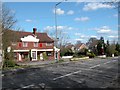
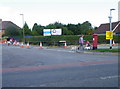
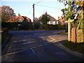
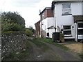
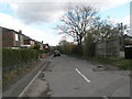
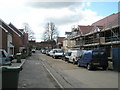
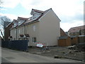
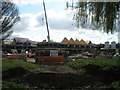
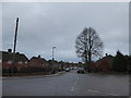
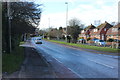
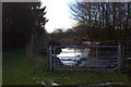
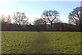
100 photos from this area
Area Information
Key information about the GU31 4LN including its size, population, and administrative classification.
- Area Type
- Postcode
- Area Size
- 5.4 hectares
- Population
- 2300
- Population Density
- 1652 people/km²
House Prices in GU31 4LN
58
Properties
£359,064
Average Sold Price
£39,000
Lowest Price
£785,000
Highest Price
Showing 58 properties
| Address | Type | Beds | Baths | Last Sale Price | Last Sale Date | |
|---|---|---|---|---|---|---|
| 191 The Causeway, Petersfield, GU31 4LN | Terraced | 3 | 2 | £465,000 | Jan 2025 | |
| 147 The Causeway, Petersfield, GU31 4LN | Semi-detached | 4 | 2 | £635,000 | Nov 2024 | |
| 177 The Causeway, Petersfield, GU31 4LN | house | - | - | £335,000 | Jan 2023 | |
| 171 The Causeway, Petersfield, GU31 4LN | Terraced | 3 | 1 | £340,000 | Aug 2022 | |
| 127A The Causeway, Petersfield, GU31 4LN | house | - | - | £495,000 | May 2022 | |
| 123 The Causeway, Petersfield, GU31 4LN | house | 4 | 3 | £785,000 | Mar 2022 | |
| 149 The Causeway, Petersfield, GU31 4LN | Semi-detached | 3 | 2 | £480,000 | Feb 2022 | |
| 143A The Causeway, Petersfield, GU31 4LN | house | - | - | £535,000 | Aug 2021 | |
| 175 The Causeway, Petersfield, GU31 4LN | Terraced | 3 | 1 | £302,000 | Mar 2021 | |
| 167A The Causeway, Petersfield, GU31 4LN | house | 4 | - | £500,000 | Mar 2021 |
Page 1 of 6
Energy Efficiency in GU31 4LN
Amenities
Schools
| Rank | School | Type | Entry gender | Ages |
|---|
Explore more schools in this area
Go to Schools tabDemographics
Household Size
Family (3-5 people)
most common
Accommodation Type
Houses
most common
Tenure
77
majority
Ethnic Group
White
most common
Religion
N/A
most common
Household Composition
N/A
most common
Age
47
median
Adults (30-64 years)
most common
Household Deprivation
N/A
with no deprivation
NS-SEC
42
in Lower managerial occupations
Explore more demographic insights in this area
Go to Demographics tabPlanning
Planning Constraints
- Flood RiskPremium
- Ramsar Wetland SitesPremium
- Area of Outstanding Natural BeautyPremium
- Protected Nature ReservePremium
- Protected WoodlandPremium