Area Overview for GU31 4FL
Photos of GU31 4FL
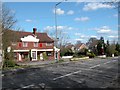
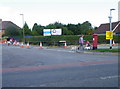
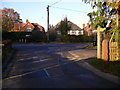
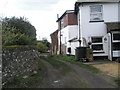
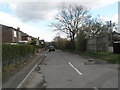
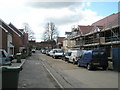
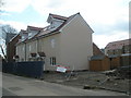
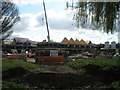
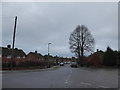
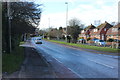
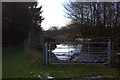
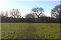
100 photos from this area
Area Information
Key information about the GU31 4FL including its size, population, and administrative classification.
- Area Type
- Postcode
- Area Size
- 9434 m²
- Population
- 2300
- Population Density
- 1652 people/km²
House Prices in GU31 4FL
23
Properties
£596,304
Average Sold Price
£380,000
Lowest Price
£845,000
Highest Price
Showing 23 properties
| Address | Type | Beds | Baths | Last Sale Price | Last Sale Date | |
|---|---|---|---|---|---|---|
| 12 Leachman Way, Petersfield, GU31 4FL | Detached | 4 | 3 | £725,000 | Nov 2024 | |
| 15 Leachman Way, Petersfield, GU31 4FL | house | - | - | £617,500 | Jun 2019 | |
| 5 Leachman Way, Petersfield, GU31 4FL | house | - | - | £640,000 | May 2018 | |
| 1 Leachman Way, Petersfield, GU31 4FL | house | - | - | £845,000 | Oct 2017 | |
| 3 Leachman Way, Petersfield, GU31 4FL | Detached | 4 | 2 | £675,000 | Mar 2017 | |
| 23 Leachman Way, Petersfield, GU31 4FL | Detached | 4 | 2 | £580,000 | Mar 2016 | |
| 25 Leachman Way, Petersfield, GU31 4FL | Detached | 4 | 2 | £545,000 | Dec 2015 | |
| 10 Leachman Way, Petersfield, GU31 4FL | house | - | - | £585,000 | Dec 2015 | |
| 9 Leachman Way, Petersfield, GU31 4FL | house | - | - | £596,500 | Oct 2015 | |
| 4 Leachman Way, Petersfield, GU31 4FL | house | - | - | £380,000 | Jun 2015 |
Page 1 of 3
Energy Efficiency in GU31 4FL
Amenities
Schools
| Rank | School | Type | Entry gender | Ages |
|---|
Explore more schools in this area
Go to Schools tabDemographics
Household Size
Family (3-5 people)
most common
Accommodation Type
Houses
most common
Tenure
77
majority
Ethnic Group
White
most common
Religion
N/A
most common
Household Composition
N/A
most common
Age
47
median
Adults (30-64 years)
most common
Household Deprivation
N/A
with no deprivation
NS-SEC
42
in Lower managerial occupations
Explore more demographic insights in this area
Go to Demographics tabPlanning
Planning Constraints
- Flood RiskPremium
- Ramsar Wetland SitesPremium
- Area of Outstanding Natural BeautyPremium
- Protected Nature ReservePremium
- Protected WoodlandPremium