Area Overview for GU30 7RU
Photos of GU30 7RU
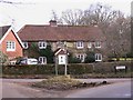

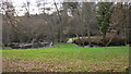
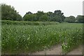
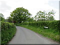
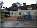
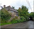

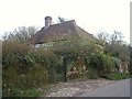
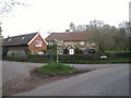

20 photos from this area
Area Information
Key information about the GU30 7RU including its size, population, and administrative classification.
- Area Type
- Postcode
- Area Size
- 39.9 hectares
- Population
- 2094
- Population Density
- 132 people/km²
House Prices in GU30 7RU
26
Properties
£1,140,750
Average Sold Price
£381,500
Lowest Price
£2,800,000
Highest Price
Showing 26 properties
| Address | Type | Beds | Baths | Last Sale Price | Last Sale Date | |
|---|---|---|---|---|---|---|
| The Retreat, Passfield Road, Passfield, Liphook, GU30 7RU | Land | - | - | £1,900,000 | Jan 2023 | |
| Passfield Corner, Passfield Road, Passfield, Liphook, GU30 7RU | house | - | - | £2,800,000 | Dec 2022 | |
| Quarry Cottage, Passfield Road, Passfield, Liphook, GU30 7RU | house | 6 | - | £2,200,000 | Jun 2022 | |
| 6, Club Cottages, Passfield Road, Passfield, Liphook, GU30 7RU | Semi-detached | 3 | 1 | £620,000 | Apr 2022 | |
| Beech Croft, Passfield Road, Passfield, Liphook, GU30 7RU | Detached | 4 | 2 | £800,000 | Dec 2020 | |
| 5, Club Cottages, Passfield Road, Passfield, Liphook, GU30 7RU | Land | - | - | £575,000 | Feb 2019 | |
| The Old Cricketers, Passfield Road, Passfield, Liphook, GU30 7RU | house | - | - | £1,060,000 | Nov 2017 | |
| The Old Forge, Passfield Road, Passfield, Liphook, GU30 7RU | house | 5 | - | £1,162,500 | Jul 2017 | |
| Old Pastures, Passfield Road, Passfield, Liphook, GU30 7RU | Bungalow | - | - | £1,280,000 | Dec 2015 | |
| Laburnum, Passfield Road, Passfield, Liphook, GU30 7RU | Bungalow | 4 | 2 | £455,000 | Oct 2007 |
Page 1 of 3
Energy Efficiency in GU30 7RU
Amenities
Schools
| Rank | School | Type | Entry gender | Ages |
|---|
Explore more schools in this area
Go to Schools tabDemographics
Household Size
Family (3-5 people)
most common
Accommodation Type
Houses
most common
Tenure
85
majority
Ethnic Group
White
most common
Religion
N/A
most common
Household Composition
N/A
most common
Age
47
median
Adults (30-64 years)
most common
Household Deprivation
N/A
with no deprivation
NS-SEC
49
in Lower managerial occupations
Explore more demographic insights in this area
Go to Demographics tabPlanning
Planning Constraints
- Flood RiskPremium
- Ramsar Wetland SitesPremium
- Area of Outstanding Natural BeautyPremium
- Protected Nature ReservePremium
- Protected WoodlandPremium