Area Overview for GU30 7LG
Photos of GU30 7LG

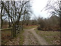
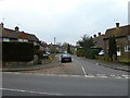


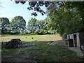
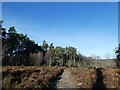

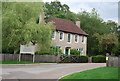
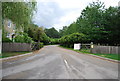

42 photos from this area
Area Information
Key information about the GU30 7LG including its size, population, and administrative classification.
- Area Type
- Postcode
- Area Size
- 28.0 hectares
- Population
- 1598
- Population Density
- 163 people/km²
House Prices in GU30 7LG
12
Properties
£791,429
Average Sold Price
£375,000
Lowest Price
£1,735,000
Highest Price
Showing 12 properties
| Address | Type | Beds | Baths | Last Sale Price | Last Sale Date | |
|---|---|---|---|---|---|---|
| Bridge Farm, Haslemere Road, Linchmere, GU30 7LG | Semi-detached | 4 | 3 | £1,735,000 | Jan 2022 | |
| Bridge Mews, Haslemere Road, Linchmere, GU30 7LG | house | 4 | - | £795,000 | Jun 2012 | |
| 4, Lakehouse Cottages, Haslemere Road, Liphook, GU30 7LG | Terraced | - | - | £375,000 | Dec 2009 | |
| Bridge Lodge, Haslemere Road, Linchmere, GU30 7LG | house | - | - | £500,000 | Nov 2009 | |
| Bridge, Haslemere Road, Linchmere, GU30 7LG | Semi-detached | - | - | £1,010,000 | Dec 2004 | |
| Bridge Cottage, Haslemere Road, Linchmere, GU30 7LG | Land | - | - | £550,000 | Jul 2004 | |
| Lake House, Haslemere Road, Liphook, GU30 7LG | house | - | - | £575,000 | Jul 2002 | |
| Marshes Hollow, Haslemere Road, Liphook, GU30 7LG | Detached | 7 | - | - | - | |
| Brodersen And Co Limited, The Old Barn, Bridge Cottage, Haslemere Road, Linchmere, GU30 7LG | Office | - | - | - | - | |
| Lakehouse Cottages, Haslemere Road, Liphook, GU30 7LG | Terraced | - | - | - | - |
Page 1 of 2
Energy Efficiency in GU30 7LG
Amenities
Schools
| Rank | School | Type | Entry gender | Ages |
|---|
Explore more schools in this area
Go to Schools tabDemographics
Household Size
Family (3-5 people)
most common
Accommodation Type
Houses
most common
Tenure
75
majority
Ethnic Group
White
most common
Religion
N/A
most common
Household Composition
N/A
most common
Age
47
median
Adults (30-64 years)
most common
Household Deprivation
N/A
with no deprivation
NS-SEC
43
in Lower managerial occupations
Explore more demographic insights in this area
Go to Demographics tabPlanning
Planning Constraints
- Flood RiskPremium
- Ramsar Wetland SitesPremium
- Area of Outstanding Natural BeautyPremium
- Protected Nature ReservePremium
- Protected WoodlandPremium