Area Overview for GU29 9JZ
Photos of GU29 9JZ
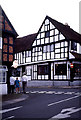

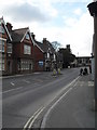
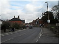
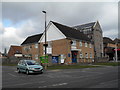
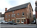

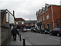

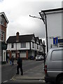
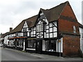
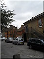
100 photos from this area
Area Information
Key information about the GU29 9JZ including its size, population, and administrative classification.
- Area Type
- Postcode
- Area Size
- 4.5 hectares
- Population
- 1495
- Population Density
- 1827 people/km²
House Prices in GU29 9JZ
52
Properties
£438,713
Average Sold Price
£157,000
Lowest Price
£865,000
Highest Price
Showing 52 properties
| Address | Type | Beds | Baths | Last Sale Price | Last Sale Date | |
|---|---|---|---|---|---|---|
| 24 Guillards Oak, Midhurst, GU29 9JZ | Detached | 4 | 1 | £680,000 | Feb 2025 | |
| 42 Guillards Oak, Midhurst, GU29 9JZ | Bungalow | 4 | 2 | £680,000 | Nov 2023 | |
| 15 Guillards Oak, Midhurst, GU29 9JZ | house | 4 | 1 | £575,000 | Aug 2023 | |
| 47 Guillards Oak, Midhurst, GU29 9JZ | Detached | 3 | 1 | £580,000 | Mar 2022 | |
| 39 Guillards Oak, Midhurst, GU29 9JZ | Retail | 3 | 1 | £420,000 | Feb 2022 | |
| Garden House, 49 Guillards Oak, Midhurst, GU29 9JZ | Terraced | 3 | 3 | £865,000 | Aug 2021 | |
| 12 Guillards Oak, Midhurst, GU29 9JZ | Detached | 4 | 2 | £680,000 | Jun 2021 | |
| 22 Guillards Oak, Midhurst, GU29 9JZ | Detached | 3 | 2 | £600,000 | Jun 2021 | |
| 45 Guillards Oak, Midhurst, GU29 9JZ | Bungalow | - | - | £480,000 | Jun 2021 | |
| 43 Guillards Oak, Midhurst, GU29 9JZ | Bungalow | 2 | - | £442,000 | Mar 2021 |
Page 1 of 6
Energy Efficiency in GU29 9JZ
Amenities
Schools
| Rank | School | Type | Entry gender | Ages |
|---|
Explore more schools in this area
Go to Schools tabDemographics
Household Size
One person
most common
Accommodation Type
Houses
most common
Tenure
76
majority
Ethnic Group
White
most common
Religion
N/A
most common
Household Composition
N/A
most common
Age
47
median
Adults (30-64 years)
most common
Household Deprivation
N/A
with no deprivation
NS-SEC
40
in Lower managerial occupations
Explore more demographic insights in this area
Go to Demographics tabPlanning
Planning Constraints
- Flood RiskPremium
- Ramsar Wetland SitesPremium
- Area of Outstanding Natural BeautyPremium
- Protected Nature ReservePremium
- Protected WoodlandPremium