Area Overview for GU29 0NZ
Photos of GU29 0NZ
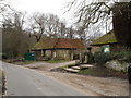
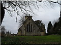
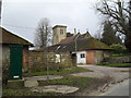
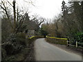
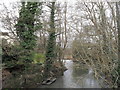
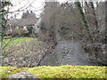
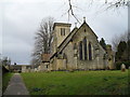
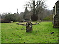
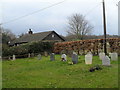
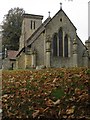
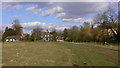
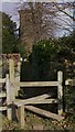
85 photos from this area
Area Information
Key information about the GU29 0NZ including its size, population, and administrative classification.
- Area Type
- Postcode
- Area Size
- 1.8 hectares
- Population
- 1234
- Population Density
- 47 people/km²
House Prices in GU29 0NZ
21
Properties
£387,589
Average Sold Price
£94,000
Lowest Price
£709,000
Highest Price
Showing 21 properties
| Address | Type | Beds | Baths | Last Sale Price | Last Sale Date | |
|---|---|---|---|---|---|---|
| Green Acre, School Lane, Stedham, GU29 0NZ | Bungalow | 2 | 3 | £709,000 | Nov 2021 | |
| Old Post House, School Lane, Stedham, GU29 0NZ | house | - | - | £600,000 | Sep 2021 | |
| Bancourt, School Lane, Stedham, GU29 0NZ | Bungalow | 3 | 1 | £610,000 | Aug 2021 | |
| Crispins, School Lane, Stedham, GU29 0NZ | Bungalow | 3 | 1 | £483,000 | Dec 2019 | |
| Sunflowers, School Lane, Stedham, GU29 0NZ | Semi-detached | 3 | 1 | £625,000 | Jul 2019 | |
| Carinya, School Lane, Stedham, GU29 0NZ | Bungalow | 2 | 1 | £375,000 | Sep 2017 | |
| Cedar Cottage, School Lane, Stedham, GU29 0NZ | Bungalow | 2 | 2 | £300,000 | Jun 2017 | |
| Lavant House, School Lane, Stedham, GU29 0NZ | Detached | 4 | 3 | £690,000 | Aug 2016 | |
| Oakleigh, School Lane, Stedham, GU29 0NZ | Semi-detached | 3 | - | £298,000 | Sep 2014 | |
| Fair View, School Lane, Stedham, GU29 0NZ | Semi-detached | 3 | - | £315,000 | Aug 2013 |
Page 1 of 3
Energy Efficiency in GU29 0NZ
Amenities
Schools
| Rank | School | Type | Entry gender | Ages |
|---|
Explore more schools in this area
Go to Schools tabDemographics
Household Size
Two person
most common
Accommodation Type
Houses
most common
Tenure
70
majority
Ethnic Group
White
most common
Religion
N/A
most common
Household Composition
N/A
most common
Age
47
median
Adults (30-64 years)
most common
Household Deprivation
N/A
with no deprivation
NS-SEC
42
in Lower managerial occupations
Explore more demographic insights in this area
Go to Demographics tabPlanning
Planning Constraints
- Flood RiskPremium
- Ramsar Wetland SitesPremium
- Area of Outstanding Natural BeautyPremium
- Protected Nature ReservePremium
- Protected WoodlandPremium