Area Overview for GU29 0LJ
Photos of GU29 0LJ
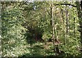
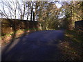
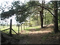
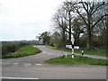
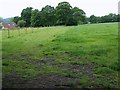
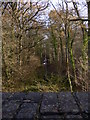
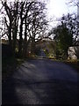
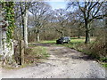
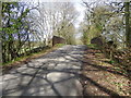
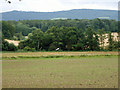
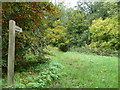
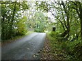
18 photos from this area
Area Information
Key information about the GU29 0LJ including its size, population, and administrative classification.
- Area Type
- Postcode
- Area Size
- 1.6 km²
- Population
- 1234
- Population Density
- 47 people/km²
House Prices in GU29 0LJ
14
Properties
£918,750
Average Sold Price
£580,000
Lowest Price
£1,850,000
Highest Price
Showing 14 properties
| Address | Type | Beds | Baths | Last Sale Price | Last Sale Date | |
|---|---|---|---|---|---|---|
| Christmas Cottage, Ingrams Green Lane, Ingrams Green, Iping, GU29 0LJ | Detached | 3 | 3 | £1,850,000 | Dec 2024 | |
| Kemps Cottage, Ingrams Green Lane, Ingrams Green, Iping, GU29 0LJ | Detached | - | - | £645,000 | May 2009 | |
| Ingrams Cottage, Ingrams Green Lane, Ingrams Green, Iping, GU29 0LJ | Semi-detached | 3 | 2 | £580,000 | Aug 2001 | |
| Brook Corner, Ingrams Green Lane, Ingrams Green, Iping, GU29 0LJ | Detached | 5 | 4 | £600,000 | Oct 1996 | |
| Bridgelands Farm And Stable Supplies, Ingrams Green Lane, Ingrams Green, Iping, GU29 0LJ | storage_distribution | - | - | - | - | |
| The Lodge, Ingrams Copse, Ingrams Green Lane, Ingrams Green, Iping, GU29 0LJ | house | - | - | - | - | |
| Tennis 43M From Ingrams 28M From Unnamed Road, Ingrams Green Lane, Ingrams Green, Iping, GU29 0LJ | Leisure | - | - | - | - | |
| Woodlands, Ingrams Green Lane, Ingrams Green, Iping, GU29 0LJ | Detached | - | - | - | - | |
| 3, Bridgelands Farm Cottages, Ingrams Green Lane, Ingrams Green, Iping, GU29 0LJ | house | - | - | - | - | |
| 2, Bridgelands Farm Cottages, Ingrams Green Lane, Ingrams Green, Iping, GU29 0LJ | house | - | - | - | - |
Page 1 of 2
Energy Efficiency in GU29 0LJ
Amenities
Schools
| Rank | School | Type | Entry gender | Ages |
|---|
Explore more schools in this area
Go to Schools tabDemographics
Household Size
Two person
most common
Accommodation Type
Houses
most common
Tenure
70
majority
Ethnic Group
White
most common
Religion
N/A
most common
Household Composition
N/A
most common
Age
47
median
Adults (30-64 years)
most common
Household Deprivation
N/A
with no deprivation
NS-SEC
42
in Lower managerial occupations
Explore more demographic insights in this area
Go to Demographics tabPlanning
Planning Constraints
- Flood RiskPremium
- Ramsar Wetland SitesPremium
- Area of Outstanding Natural BeautyPremium
- Protected Nature ReservePremium
- Protected WoodlandPremium