Area Overview for GU29 0HQ
Photos of GU29 0HQ
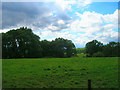
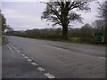
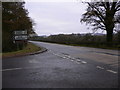
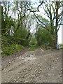
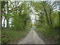
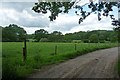
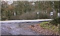
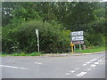
16 photos from this area
Area Information
Key information about the GU29 0HQ including its size, population, and administrative classification.
- Area Type
- Postcode
- Area Size
- 10.5 hectares
- Population
- 1031
- Population Density
- 47 people/km²
House Prices in GU29 0HQ
52
Properties
£243,400
Average Sold Price
£62,000
Lowest Price
£480,250
Highest Price
Showing 52 properties
| Address | Type | Beds | Baths | Last Sale Price | Last Sale Date | |
|---|---|---|---|---|---|---|
| 47 The Croft, Cocking, GU29 0HQ | Semi-detached | 2 | 1 | £247,500 | Aug 2025 | |
| 28 The Croft, Cocking, GU29 0HQ | Bungalow | 2 | 1 | £365,000 | Feb 2023 | |
| 46 The Croft, Cocking, GU29 0HQ | house | - | - | £287,000 | Jun 2022 | |
| 15 The Croft, Cocking, GU29 0HQ | house | - | - | £480,250 | Feb 2021 | |
| 8 The Croft, Cocking, GU29 0HQ | house | - | - | £290,000 | Nov 2020 | |
| 45 The Croft, Cocking, GU29 0HQ | Semi-detached | 2 | - | £188,000 | Jun 2014 | |
| 50 The Croft, Cocking, GU29 0HQ | house | 2 | - | £170,000 | Jun 2011 | |
| 19 The Croft, Cocking, GU29 0HQ | Semi-detached | 3 | 2 | £325,000 | Jul 2007 | |
| 14 The Croft, Cocking, GU29 0HQ | Semi-detached | - | - | £265,000 | Jun 2007 | |
| 2 The Croft, Cocking, GU29 0HQ | house | - | - | £307,000 | Jun 2007 |
Page 1 of 6
Energy Efficiency in GU29 0HQ
Amenities
Schools
| Rank | School | Type | Entry gender | Ages |
|---|
Explore more schools in this area
Go to Schools tabDemographics
Household Size
Two person
most common
Accommodation Type
Houses
most common
Tenure
68
majority
Ethnic Group
White
most common
Religion
N/A
most common
Household Composition
N/A
most common
Age
47
median
Adults (30-64 years)
most common
Household Deprivation
N/A
with no deprivation
NS-SEC
43
in Lower managerial occupations
Explore more demographic insights in this area
Go to Demographics tabPlanning
Planning Constraints
- Flood RiskPremium
- Ramsar Wetland SitesPremium
- Area of Outstanding Natural BeautyPremium
- Protected Nature ReservePremium
- Protected WoodlandPremium