Area Overview for GU29 0EH
Photos of GU29 0EH
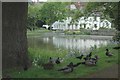
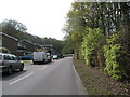
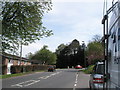
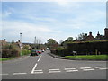
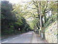
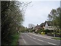
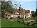
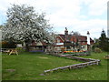
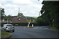
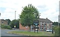
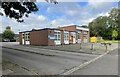
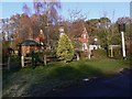
30 photos from this area
Area Information
Key information about the GU29 0EH including its size, population, and administrative classification.
- Area Type
- Postcode
- Area Size
- 28.8 hectares
- Population
- 1031
- Population Density
- 47 people/km²
House Prices in GU29 0EH
30
Properties
£707,524
Average Sold Price
£239,999
Lowest Price
£1,350,000
Highest Price
Showing 30 properties
| Address | Type | Beds | Baths | Last Sale Price | Last Sale Date | |
|---|---|---|---|---|---|---|
| The Coach House, Church Road, West Lavington, GU29 0EH | house | 3 | 2 | £1,250,000 | Aug 2024 | |
| Bayswood, Church Road, West Lavington, GU29 0EH | Detached | 4 | 1 | £1,125,000 | Apr 2024 | |
| 3, Pinewood Court, Church Road, West Lavington, GU29 0EH | Retail | 3 | 2 | £400,000 | Jun 2023 | |
| Hollyhurst, Church Road, West Lavington, GU29 0EH | Detached | 4 | 2 | £840,000 | May 2023 | |
| 2, Pinewood Court, Church Road, West Lavington, GU29 0EH | Bungalow | 2 | 1 | £370,000 | May 2023 | |
| Cones, Church Road, West Lavington, GU29 0EH | house | - | - | £732,500 | Mar 2022 | |
| Robinswood, Church Road, West Lavington, GU29 0EH | house | 3 | - | £1,350,000 | May 2021 | |
| Wisteria House, Church Road, West Lavington, GU29 0EH | house | - | - | £1,200,000 | Aug 2020 | |
| Coign Cottage, Church Road, West Lavington, GU29 0EH | Detached | 4 | 1 | £970,000 | Sep 2019 | |
| Kennel Field House, Church Road, West Lavington, GU29 0EH | house | - | - | £810,000 | Jan 2019 |
Page 1 of 3
Energy Efficiency in GU29 0EH
Amenities
Schools
| Rank | School | Type | Entry gender | Ages |
|---|
Explore more schools in this area
Go to Schools tabDemographics
Household Size
Two person
most common
Accommodation Type
Houses
most common
Tenure
68
majority
Ethnic Group
White
most common
Religion
N/A
most common
Household Composition
N/A
most common
Age
47
median
Adults (30-64 years)
most common
Household Deprivation
N/A
with no deprivation
NS-SEC
43
in Lower managerial occupations
Explore more demographic insights in this area
Go to Demographics tabPlanning
Planning Constraints
- Flood RiskPremium
- Ramsar Wetland SitesPremium
- Area of Outstanding Natural BeautyPremium
- Protected Nature ReservePremium
- Protected WoodlandPremium