Area Overview for GU29 0DP
Photos of GU29 0DP
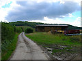
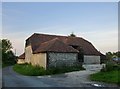


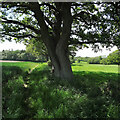


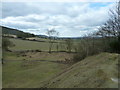


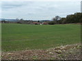
33 photos from this area
Area Information
Key information about the GU29 0DP including its size, population, and administrative classification.
- Area Type
- Postcode
- Area Size
- 39.6 hectares
- Population
- 1031
- Population Density
- 47 people/km²
House Prices in GU29 0DP
5
Properties
£685,000
Average Sold Price
£685,000
Lowest Price
£685,000
Highest Price
Showing 5 properties
| Address | Type | Beds | Baths | Last Sale Price | Last Sale Date | |
|---|---|---|---|---|---|---|
| Poplar House, Hoyle Lane, Heyshott, GU29 0DP | house | - | - | £685,000 | Feb 2010 | |
| Mint Down Cottage, Hoyle Lane, Heyshott, GU29 0DP | Semi-detached | 4 | - | - | - | |
| Gabem Management Limited, Gabem House, Heyshott Street, Heyshott, GU29 0DP | office_workshop | - | - | - | - | |
| Old Moores, Heyshott Street, Heyshott, GU29 0DP | house | - | - | - | - | |
| Moor Farm, Heyshott Street, Heyshott, GU29 0DP | house | - | - | - | - |
Energy Efficiency in GU29 0DP
Amenities
Schools
| Rank | School | Type | Entry gender | Ages |
|---|
Explore more schools in this area
Go to Schools tabDemographics
Household Size
Two person
most common
Accommodation Type
Houses
most common
Tenure
68
majority
Ethnic Group
White
most common
Religion
N/A
most common
Household Composition
N/A
most common
Age
47
median
Adults (30-64 years)
most common
Household Deprivation
N/A
with no deprivation
NS-SEC
43
in Lower managerial occupations
Explore more demographic insights in this area
Go to Demographics tabPlanning
Planning Constraints
- Flood RiskPremium
- Ramsar Wetland SitesPremium
- Area of Outstanding Natural BeautyPremium
- Protected Nature ReservePremium
- Protected WoodlandPremium