Area Overview for GU27 3HL
Photos of GU27 3HL
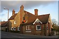
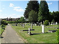
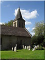
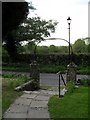
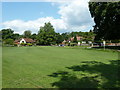
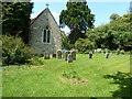
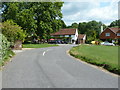
100 photos from this area
Area Information
Key information about the GU27 3HL including its size, population, and administrative classification.
- Area Type
- Postcode
- Area Size
- 5823 m²
- Population
- 2117
- Population Density
- 121 people/km²
House Prices in GU27 3HL
27
Properties
£160,385
Average Sold Price
£47,500
Lowest Price
£325,000
Highest Price
Showing 27 properties
| Address | Type | Beds | Baths | Last Sale Price | Last Sale Date | |
|---|---|---|---|---|---|---|
| 18 Ash Grove, Fernhurst, GU27 3HL | Flat | 2 | 1 | £75,000 | Aug 2025 | |
| 5 Ash Grove, Fernhurst, GU27 3HL | Flat | 2 | 1 | £122,500 | Jul 2025 | |
| 22 Ash Grove, Fernhurst, GU27 3HL | Bungalow | 2 | 1 | £202,500 | Apr 2024 | |
| 9 Ash Grove, Fernhurst, GU27 3HL | Flat | 2 | 1 | £110,000 | Dec 2023 | |
| 25 Ash Grove, Fernhurst, GU27 3HL | Bungalow | 2 | 1 | £210,000 | Oct 2023 | |
| 10 Ash Grove, Fernhurst, GU27 3HL | Flat | 2 | 1 | £145,000 | Nov 2022 | |
| 21 Ash Grove, Fernhurst, GU27 3HL | Bungalow | - | - | £205,000 | Jun 2022 | |
| 24 Ash Grove, Fernhurst, GU27 3HL | Bungalow | 2 | 1 | £199,000 | Jun 2022 | |
| 3 Ash Grove, Fernhurst, GU27 3HL | Flat | 1 | 1 | £118,500 | Apr 2022 | |
| 26 Ash Grove, Fernhurst, GU27 3HL | Bungalow | - | - | £225,000 | Sep 2021 |
Page 1 of 3
Energy Efficiency in GU27 3HL
Amenities
Schools
| Rank | School | Type | Entry gender | Ages |
|---|
Explore more schools in this area
Go to Schools tabDemographics
Household Size
Two person
most common
Accommodation Type
Houses
most common
Tenure
69
majority
Ethnic Group
White
most common
Religion
N/A
most common
Household Composition
N/A
most common
Age
47
median
Adults (30-64 years)
most common
Household Deprivation
N/A
with no deprivation
NS-SEC
41
in Lower managerial occupations
Explore more demographic insights in this area
Go to Demographics tabPlanning
Planning Constraints
- Flood RiskPremium
- Ramsar Wetland SitesPremium
- Area of Outstanding Natural BeautyPremium
- Protected Nature ReservePremium
- Protected WoodlandPremium