Area Overview for GU27 2QQ
Photos of GU27 2QQ
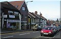
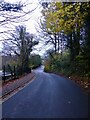
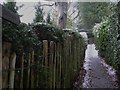
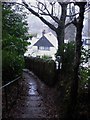
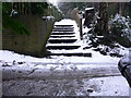
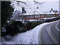
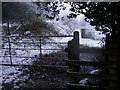
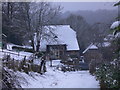
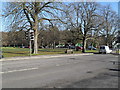
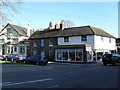
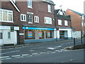
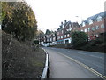
98 photos from this area
Area Information
Key information about the GU27 2QQ including its size, population, and administrative classification.
- Area Type
- Postcode
- Area Size
- 2.3 hectares
- Population
- 1750
- Population Density
- 2771 people/km²
House Prices in GU27 2QQ
26
Properties
£370,420
Average Sold Price
£88,125
Lowest Price
£865,000
Highest Price
Showing 26 properties
| Address | Type | Beds | Baths | Last Sale Price | Last Sale Date | |
|---|---|---|---|---|---|---|
| 135 Kings Road, Haslemere, GU27 2QQ | Semi-detached | 4 | 2 | £595,000 | Mar 2025 | |
| 147 Kings Road, Haslemere, GU27 2QQ | Semi-detached | 3 | 1 | £490,000 | Feb 2025 | |
| 115 Kings Road, Haslemere, GU27 2QQ | Detached | 4 | 2 | £865,000 | Sep 2018 | |
| 125 Kings Road, Haslemere, GU27 2QQ | Semi-detached | 3 | - | £309,000 | Aug 2014 | |
| 119 Kings Road, Haslemere, GU27 2QQ | Bungalow | 3 | 2 | £290,000 | Dec 2013 | |
| 145 Kings Road, Haslemere, GU27 2QQ | Semi-detached | 3 | 1 | £285,000 | Nov 2013 | |
| 143 Kings Road, Haslemere, GU27 2QQ | Semi-detached | 3 | 1 | £290,000 | Sep 2011 | |
| 139 Kings Road, Haslemere, GU27 2QQ | house | - | - | £297,500 | May 2008 | |
| 111 Kings Road, Haslemere, GU27 2QQ | house | - | - | £330,000 | Nov 2005 | |
| 133 Kings Road, Haslemere, GU27 2QQ | Semi-detached | - | - | £235,000 | Dec 2003 |
Page 1 of 3
Energy Efficiency in GU27 2QQ
Amenities
Schools
| Rank | School | Type | Entry gender | Ages |
|---|
Explore more schools in this area
Go to Schools tabDemographics
Household Size
One person
most common
Accommodation Type
Houses
most common
Tenure
50
majority
Ethnic Group
White
most common
Religion
N/A
most common
Household Composition
N/A
most common
Age
47
median
Adults (30-64 years)
most common
Household Deprivation
N/A
with no deprivation
NS-SEC
41
in Lower managerial occupations
Explore more demographic insights in this area
Go to Demographics tabPlanning
Planning Constraints
- Flood RiskPremium
- Ramsar Wetland SitesPremium
- Area of Outstanding Natural BeautyPremium
- Protected Nature ReservePremium
- Protected WoodlandPremium