Area Overview for GU27 2QA
Photos of GU27 2QA
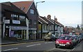
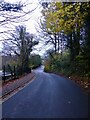
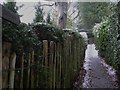
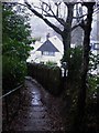
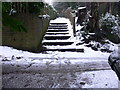
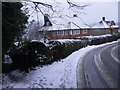
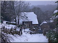
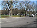
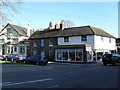
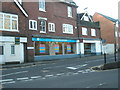
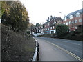
98 photos from this area
Area Information
Key information about the GU27 2QA including its size, population, and administrative classification.
- Area Type
- Postcode
- Area Size
- 9041 m²
- Population
- 1750
- Population Density
- 2771 people/km²
House Prices in GU27 2QA
54
Properties
£267,733
Average Sold Price
£90,000
Lowest Price
£505,000
Highest Price
Showing 54 properties
| Address | Type | Beds | Baths | Last Sale Price | Last Sale Date | |
|---|---|---|---|---|---|---|
| 1A Kings Road, Haslemere, GU27 2QA | Flat | 1 | 1 | £172,000 | Jun 2022 | |
| Flat, 25 Kings Road, Haslemere, GU27 2QA | Flat | 1 | 1 | £400,000 | Sep 2020 | |
| 47 Kings Road, Haslemere, GU27 2QA | Semi-detached | 3 | 2 | £505,000 | Jul 2019 | |
| 1B Kings Road, Haslemere, GU27 2QA | Flat | 1 | 1 | £180,000 | May 2019 | |
| 33 Kings Road, Haslemere, GU27 2QA | Semi-detached | 3 | 1 | £405,000 | Jun 2016 | |
| 19 Kings Road, Haslemere, GU27 2QA | Terraced | 1 | 1 | £305,000 | Dec 2015 | |
| 49 Kings Road, Haslemere, GU27 2QA | house | - | - | £267,000 | Jul 2015 | |
| 51 Kings Road, Haslemere, GU27 2QA | house | - | - | £200,000 | Aug 2012 | |
| 7 Kings Road, Haslemere, GU27 2QA | Flat | 1 | 1 | £93,000 | Aug 2010 | |
| 53 Kings Road, Haslemere, GU27 2QA | Terraced | - | - | £194,000 | Nov 2008 |
Page 1 of 6
Energy Efficiency in GU27 2QA
Amenities
Schools
| Rank | School | Type | Entry gender | Ages |
|---|
Explore more schools in this area
Go to Schools tabDemographics
Household Size
One person
most common
Accommodation Type
Houses
most common
Tenure
50
majority
Ethnic Group
White
most common
Religion
N/A
most common
Household Composition
N/A
most common
Age
47
median
Adults (30-64 years)
most common
Household Deprivation
N/A
with no deprivation
NS-SEC
41
in Lower managerial occupations
Explore more demographic insights in this area
Go to Demographics tabPlanning
Planning Constraints
- Flood RiskPremium
- Ramsar Wetland SitesPremium
- Area of Outstanding Natural BeautyPremium
- Protected Nature ReservePremium
- Protected WoodlandPremium