Area Overview for GU27 1NH
Photos of GU27 1NH
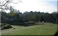
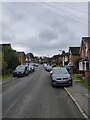
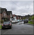
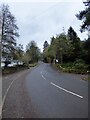
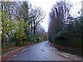
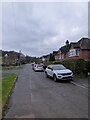
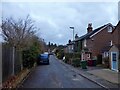
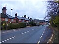
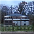
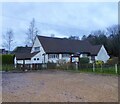
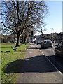
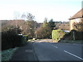
100 photos from this area
Area Information
Key information about the GU27 1NH including its size, population, and administrative classification.
- Area Type
- Postcode
- Area Size
- 1.3 hectares
- Population
- 1750
- Population Density
- 2771 people/km²
House Prices in GU27 1NH
54
Properties
£130,354
Average Sold Price
£32,500
Lowest Price
£295,000
Highest Price
Showing 54 properties
| Address | Type | Beds | Baths | Last Sale Price | Last Sale Date | |
|---|---|---|---|---|---|---|
| 8 Timbermill Court, Haslemere, GU27 1NH | Flat | - | - | £197,000 | Sep 2024 | |
| 20 Timbermill Court, Haslemere, GU27 1NH | Flat | - | - | £160,000 | May 2023 | |
| 36 Timbermill Court, Haslemere, GU27 1NH | Terraced | 2 | 1 | £295,000 | Mar 2023 | |
| 15 Timbermill Court, Haslemere, GU27 1NH | Flat | - | - | £170,000 | Feb 2022 | |
| 3 Timbermill Court, Haslemere, GU27 1NH | Terraced | 2 | 1 | £272,500 | Feb 2021 | |
| 52 Timbermill Court, Haslemere, GU27 1NH | Maisonette | 1 | 1 | £163,000 | Feb 2020 | |
| 54 Timbermill Court, Haslemere, GU27 1NH | Flat | - | - | £183,500 | Jul 2018 | |
| 34 Timbermill Court, Haslemere, GU27 1NH | Maisonette | - | - | £237,500 | Aug 2017 | |
| 39 Timbermill Court, Haslemere, GU27 1NH | Flat | - | - | £95,396 | Mar 2017 | |
| 6 Timbermill Court, Haslemere, GU27 1NH | house | 2 | 1 | £247,500 | Feb 2016 |
Page 1 of 6
Energy Efficiency in GU27 1NH
Amenities
Schools
| Rank | School | Type | Entry gender | Ages |
|---|
Explore more schools in this area
Go to Schools tabDemographics
Household Size
One person
most common
Accommodation Type
Houses
most common
Tenure
50
majority
Ethnic Group
White
most common
Religion
N/A
most common
Household Composition
N/A
most common
Age
47
median
Adults (30-64 years)
most common
Household Deprivation
N/A
with no deprivation
NS-SEC
41
in Lower managerial occupations
Explore more demographic insights in this area
Go to Demographics tabPlanning
Planning Constraints
- Flood RiskPremium
- Ramsar Wetland SitesPremium
- Area of Outstanding Natural BeautyPremium
- Protected Nature ReservePremium
- Protected WoodlandPremium