Area Overview for GU27 1BX
Photos of GU27 1BX
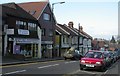
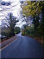
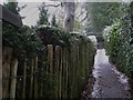
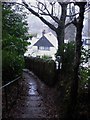
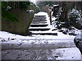
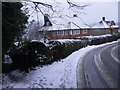

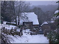
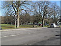
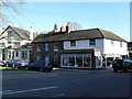
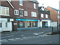
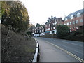
98 photos from this area
Area Information
Key information about the GU27 1BX including its size, population, and administrative classification.
- Area Type
- Postcode
- Area Size
- 1.7 hectares
- Population
- 1750
- Population Density
- 2771 people/km²
House Prices in GU27 1BX
42
Properties
£213,806
Average Sold Price
£62,000
Lowest Price
£313,000
Highest Price
Showing 42 properties
| Address | Type | Beds | Baths | Last Sale Price | Last Sale Date | |
|---|---|---|---|---|---|---|
| 40 Wey Hill, Haslemere, GU27 1BX | Terraced | 2 | 1 | £292,000 | Sep 2021 | |
| 38 Wey Hill, Haslemere, GU27 1BX | Terraced | 3 | 1 | £313,000 | Jun 2021 | |
| 8 Wey Hill, Haslemere, GU27 1BX | Terraced | 3 | 1 | £285,000 | Aug 2014 | |
| 28 Wey Hill, Haslemere, GU27 1BX | house | - | - | £220,000 | Dec 2012 | |
| 16 Wey Hill, Haslemere, GU27 1BX | Terraced | 2 | 1 | £211,500 | Mar 2012 | |
| 14 Wey Hill, Haslemere, GU27 1BX | Cottage | 2 | 1 | £182,000 | Nov 2006 | |
| 26 Wey Hill, Haslemere, GU27 1BX | Terraced | 2 | 1 | £144,950 | Aug 2002 | |
| 46 Wey Hill, Haslemere, GU27 1BX | Cottage | 2 | 1 | £62,000 | Feb 1995 | |
| 22B Wey Hill, Haslemere, GU27 1BX | Maisonette | 2 | 1 | - | - | |
| 6 Wey Hill, Haslemere, GU27 1BX | Semi-detached | 1 | 1 | - | - |
Page 1 of 5
Energy Efficiency in GU27 1BX
Amenities
Schools
| Rank | School | Type | Entry gender | Ages |
|---|
Explore more schools in this area
Go to Schools tabDemographics
Household Size
One person
most common
Accommodation Type
Houses
most common
Tenure
50
majority
Ethnic Group
White
most common
Religion
N/A
most common
Household Composition
N/A
most common
Age
47
median
Adults (30-64 years)
most common
Household Deprivation
N/A
with no deprivation
NS-SEC
41
in Lower managerial occupations
Explore more demographic insights in this area
Go to Demographics tabPlanning
Planning Constraints
- Flood RiskPremium
- Ramsar Wetland SitesPremium
- Area of Outstanding Natural BeautyPremium
- Protected Nature ReservePremium
- Protected WoodlandPremium