Area Overview for GU25 4SW
Photos of GU25 4SW
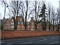
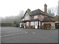
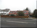
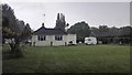
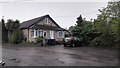
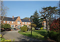
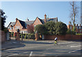
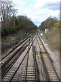
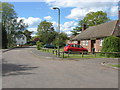
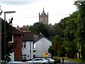
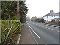
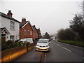
14 photos from this area
Area Information
Key information about the GU25 4SW including its size, population, and administrative classification.
- Area Type
- Postcode
- Area Size
- 2.6 hectares
- Population
- 1795
- Population Density
- 953 people/km²
House Prices in GU25 4SW
21
Properties
£679,042
Average Sold Price
£180,000
Lowest Price
£1,350,000
Highest Price
Showing 21 properties
| Address | Type | Beds | Baths | Last Sale Price | Last Sale Date | |
|---|---|---|---|---|---|---|
| 5 Lime Tree Walk, Virginia Water, GU25 4SW | house | - | - | £1,350,000 | Mar 2024 | |
| 6 Lime Tree Walk, Virginia Water, GU25 4SW | Detached | 4 | 2 | £1,050,000 | Aug 2020 | |
| 4 Lime Tree Walk, Virginia Water, GU25 4SW | house | 4 | - | £1,150,000 | Aug 2018 | |
| 19 Lime Tree Walk, Virginia Water, GU25 4SW | house | - | - | £1,085,000 | Aug 2015 | |
| 1 Lime Tree Walk, Virginia Water, GU25 4SW | Detached | 5 | 2 | £1,175,000 | Oct 2014 | |
| 10 Lime Tree Walk, Virginia Water, GU25 4SW | Detached | - | - | £262,500 | Jan 2013 | |
| 7 Lime Tree Walk, Virginia Water, GU25 4SW | Detached | 5 | 3 | £1,060,000 | Jan 2013 | |
| 9 Lime Tree Walk, Virginia Water, GU25 4SW | house | 5 | - | £1,100,000 | Sep 2010 | |
| 20 Lime Tree Walk, Virginia Water, GU25 4SW | Detached | 5 | 2 | £810,000 | Nov 2008 | |
| 3 Lime Tree Walk, Virginia Water, GU25 4SW | Detached | - | - | £900,000 | Oct 2006 |
Page 1 of 3
Energy Efficiency in GU25 4SW
Amenities
Schools
| Rank | School | Type | Entry gender | Ages |
|---|
Explore more schools in this area
Go to Schools tabDemographics
Household Size
Family (3-5 people)
most common
Accommodation Type
Houses
most common
Tenure
69
majority
Ethnic Group
White
most common
Religion
N/A
most common
Household Composition
N/A
most common
Age
47
median
Adults (30-64 years)
most common
Household Deprivation
N/A
with no deprivation
NS-SEC
49
in Lower managerial occupations
Explore more demographic insights in this area
Go to Demographics tabPlanning
Planning Constraints
- Flood RiskPremium
- Ramsar Wetland SitesPremium
- Area of Outstanding Natural BeautyPremium
- Protected Nature ReservePremium
- Protected WoodlandPremium