Area Overview for GU24 9RU
Photos of GU24 9RU
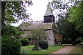
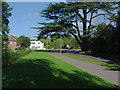
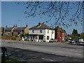
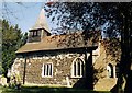
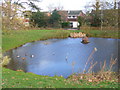
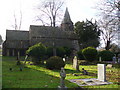
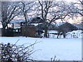
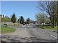
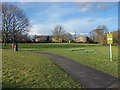
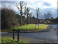
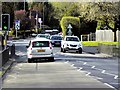
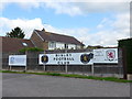
63 photos from this area
Area Information
Key information about the GU24 9RU including its size, population, and administrative classification.
- Area Type
- Postcode
- Area Size
- 3130 m²
- Population
- 1828
- Population Density
- 1781 people/km²
House Prices in GU24 9RU
20
Properties
£167,174
Average Sold Price
£52,950
Lowest Price
£305,000
Highest Price
Showing 20 properties
| Address | Type | Beds | Baths | Last Sale Price | Last Sale Date | |
|---|---|---|---|---|---|---|
| 9 Primrose Drive, Bisley, Woking, GU24 9RU | Flat | 1 | 1 | £165,500 | Jul 2025 | |
| 12 Primrose Drive, Bisley, Woking, GU24 9RU | Flat | - | - | £180,000 | Sep 2021 | |
| 6 Primrose Drive, Bisley, Woking, GU24 9RU | Flat | - | - | £170,000 | Jun 2019 | |
| 3 Primrose Drive, Bisley, Woking, GU24 9RU | Terraced | 1 | 1 | £276,500 | Mar 2019 | |
| 15 Primrose Drive, Bisley, Woking, GU24 9RU | Flat | - | - | £176,160 | Jun 2017 | |
| 8 Primrose Drive, Bisley, Woking, GU24 9RU | Flat | 2 | 1 | £169,950 | Jan 2016 | |
| 11 Primrose Drive, Bisley, Woking, GU24 9RU | Flat | - | - | £158,000 | Mar 2015 | |
| 13 Primrose Drive, Bisley, Woking, GU24 9RU | Flat | - | - | £152,000 | Jul 2014 | |
| 7 Primrose Drive, Bisley, Woking, GU24 9RU | Flat | - | - | £139,000 | Dec 2010 | |
| 10 Primrose Drive, Bisley, Woking, GU24 9RU | Flat | - | - | £73,750 | Dec 2007 |
Page 1 of 2
Energy Efficiency in GU24 9RU
Amenities
Schools
| Rank | School | Type | Entry gender | Ages |
|---|
Explore more schools in this area
Go to Schools tabDemographics
Household Size
Family (3-5 people)
most common
Accommodation Type
Houses
most common
Tenure
84
majority
Ethnic Group
White
most common
Religion
N/A
most common
Household Composition
N/A
most common
Age
47
median
Adults (30-64 years)
most common
Household Deprivation
N/A
with no deprivation
NS-SEC
46
in Lower managerial occupations
Explore more demographic insights in this area
Go to Demographics tabPlanning
Planning Constraints
- Flood RiskPremium
- Ramsar Wetland SitesPremium
- Area of Outstanding Natural BeautyPremium
- Protected Nature ReservePremium
- Protected WoodlandPremium