Area Overview for GU24 8TD
Photos of GU24 8TD
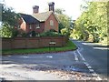
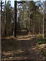
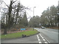
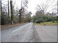
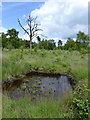
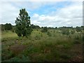

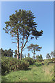
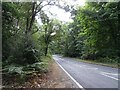
29 photos from this area
Area Information
Key information about the GU24 8TD including its size, population, and administrative classification.
- Area Type
- Postcode
- Area Size
- 28.2 hectares
- Population
- 1235
- Population Density
- 77 people/km²
House Prices in GU24 8TD
19
Properties
£861,667
Average Sold Price
£635,000
Lowest Price
£1,025,000
Highest Price
Showing 19 properties
| Address | Type | Beds | Baths | Last Sale Price | Last Sale Date | |
|---|---|---|---|---|---|---|
| New Cottage, Highams Lane, Chobham, Woking, GU24 8TD | Detached | 5 | 2 | £1,025,000 | Jan 2023 | |
| Newlyn, Highams Lane, Chobham, Woking, GU24 8TD | Detached | 5 | 4 | £635,000 | Aug 2019 | |
| Magpyes Barn, Highams Lane, Chobham, Woking, GU24 8TD | Detached | 6 | 5 | £925,000 | Dec 2014 | |
| Lake House, Highams Lane, Chobham, Woking, GU24 8TD | Detached | 5 | 3 | - | - | |
| Highams Farm, Highams Lane, Chobham, Woking, GU24 8TD | Detached | 5 | 2 | - | - | |
| Crooked Chimney, Highams Lane, Chobham, Woking, GU24 8TD | Detached | 5 | - | - | - | |
| 1, New Cottage, Highams Lane, Chobham, Woking, GU24 8TD | Land | - | - | - | - | |
| Lake Cottage, Highams Lane, Chobham, Woking, GU24 8TD | Detached | - | - | - | - | |
| FLAT, LAKE HOUSE, HIGHAMS LANE, Chobham, Woking, GU24 8TD | Flat | - | - | - | - | |
| 2, The Mews Highams Farm, Highams Lane, Chobham, Woking, GU24 8TD | hotel | - | - | - | - |
Page 1 of 2
Energy Efficiency in GU24 8TD
Amenities
Schools
| Rank | School | Type | Entry gender | Ages |
|---|
Explore more schools in this area
Go to Schools tabDemographics
Household Size
Two person
most common
Accommodation Type
Houses
most common
Tenure
81
majority
Ethnic Group
White
most common
Religion
N/A
most common
Household Composition
N/A
most common
Age
47
median
Adults (30-64 years)
most common
Household Deprivation
N/A
with no deprivation
NS-SEC
47
in Lower managerial occupations
Explore more demographic insights in this area
Go to Demographics tabPlanning
Planning Constraints
- Flood RiskPremium
- Ramsar Wetland SitesPremium
- Area of Outstanding Natural BeautyPremium
- Protected Nature ReservePremium
- Protected WoodlandPremium