Area Overview for GU23 6NR
Photos of GU23 6NR

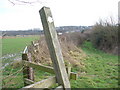
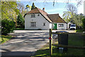
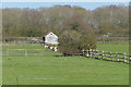
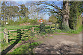
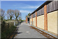
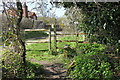

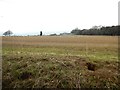
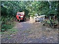
31 photos from this area
Area Information
Key information about the GU23 6NR including its size, population, and administrative classification.
- Area Type
- Postcode
- Area Size
- 14.8 hectares
- Population
- 1207
- Population Density
- 61 people/km²
House Prices in GU23 6NR
12
Properties
£855,417
Average Sold Price
£220,000
Lowest Price
£1,737,500
Highest Price
Showing 12 properties
| Address | Type | Beds | Baths | Last Sale Price | Last Sale Date | |
|---|---|---|---|---|---|---|
| Swift Cottage, Ockham Lane, Ockham, GU23 6NR | Cottage | 3 | 2 | £995,000 | Nov 2021 | |
| Rusper Cottage, Ockham Lane, Ockham, GU23 6NR | Cottage | 3 | 1 | £720,000 | Feb 2017 | |
| Ivy Cottage, Ockham Lane, Ockham, GU23 6NR | house | 3 | - | £890,000 | Jul 2015 | |
| Walnut Tree Cottage, Ockham Lane, Ockham, GU23 6NR | house | 3 | - | £570,000 | Nov 2011 | |
| Bridge End Cottage, Ockham Lane, Ockham, GU23 6NR | house | - | - | £1,737,500 | May 2002 | |
| 5, Bridge End, Ockham Lane, Ockham, GU23 6NR | house | 3 | 1 | £220,000 | Mar 1999 | |
| Beech Cottage, Ockham Lane, Ockham, GU23 6NR | Terraced | 3 | 2 | - | - | |
| 3, Bridge End, Ockham Lane, Ockham, GU23 6NR | Semi-detached | 3 | 2 | - | - | |
| 2, Michaelmas, Appstree Cottages, Ockham Lane, Ockham, GU23 6NR | Semi-detached | 4 | 2 | - | - | |
| Bridge End, Ockham Lane, Ockham, GU23 6NR | Detached | 7 | 3 | - | - |
Page 1 of 2
Energy Efficiency in GU23 6NR
Amenities
Schools
| Rank | School | Type | Entry gender | Ages |
|---|
Explore more schools in this area
Go to Schools tabDemographics
Household Size
Two person
most common
Accommodation Type
Houses
most common
Tenure
77
majority
Ethnic Group
White
most common
Religion
N/A
most common
Household Composition
N/A
most common
Age
47
median
Adults (30-64 years)
most common
Household Deprivation
N/A
with no deprivation
NS-SEC
48
in Lower managerial occupations
Explore more demographic insights in this area
Go to Demographics tabPlanning
Planning Constraints
- Flood RiskPremium
- Ramsar Wetland SitesPremium
- Area of Outstanding Natural BeautyPremium
- Protected Nature ReservePremium
- Protected WoodlandPremium