Area Overview for GU22 9DG
Photos of GU22 9DG
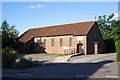
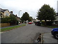
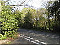
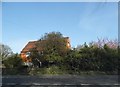
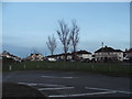
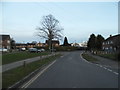
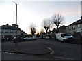
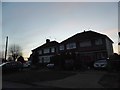

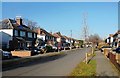
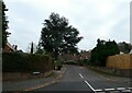
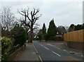
43 photos from this area
Area Information
Key information about the GU22 9DG including its size, population, and administrative classification.
- Area Type
- Postcode
- Area Size
- 1.5 hectares
- Population
- 1769
- Population Density
- 8152 people/km²
House Prices in GU22 9DG
48
Properties
£296,008
Average Sold Price
£63,375
Lowest Price
£550,000
Highest Price
Showing 48 properties
| Address | Type | Beds | Baths | Last Sale Price | Last Sale Date | |
|---|---|---|---|---|---|---|
| 87 Rydens Way, Old Woking, Woking, GU22 9DG | Detached | 4 | 1 | £495,000 | Dec 2024 | |
| 69 Rydens Way, Old Woking, Woking, GU22 9DG | Semi-detached | 3 | 1 | £410,000 | Aug 2024 | |
| 57 Rydens Way, Old Woking, Woking, GU22 9DG | Semi-detached | 3 | 1 | £432,000 | Jan 2024 | |
| 103 Rydens Way, Old Woking, Woking, GU22 9DG | Terraced | 3 | 2 | £405,000 | Dec 2022 | |
| 123 Rydens Way, Old Woking, Woking, GU22 9DG | Retail | 3 | 1 | £550,000 | Aug 2022 | |
| 55 Rydens Way, Old Woking, Woking, GU22 9DG | Semi-detached | 3 | 1 | £435,000 | Mar 2022 | |
| 129 Rydens Way, Old Woking, Woking, GU22 9DG | Semi-detached | 4 | - | £430,000 | Jun 2021 | |
| 117 Rydens Way, Old Woking, Woking, GU22 9DG | house | - | - | £305,000 | Dec 2020 | |
| 73 Rydens Way, Old Woking, Woking, GU22 9DG | Terraced | 3 | 1 | £380,000 | Mar 2020 | |
| 47 Rydens Way, Old Woking, Woking, GU22 9DG | Terraced | 3 | 1 | £350,000 | Mar 2019 |
Page 1 of 5
Energy Efficiency in GU22 9DG
Amenities
Schools
| Rank | School | Type | Entry gender | Ages |
|---|
Explore more schools in this area
Go to Schools tabDemographics
Household Size
Family (3-5 people)
most common
Accommodation Type
Houses
most common
Tenure
54
majority
Ethnic Group
White
most common
Religion
N/A
most common
Household Composition
N/A
most common
Age
47
median
Adults (30-64 years)
most common
Household Deprivation
N/A
with no deprivation
NS-SEC
33
in Lower managerial occupations
Explore more demographic insights in this area
Go to Demographics tabPlanning
Planning Constraints
- Flood RiskPremium
- Ramsar Wetland SitesPremium
- Area of Outstanding Natural BeautyPremium
- Protected Nature ReservePremium
- Protected WoodlandPremium