Area Overview for GU22 7JD
Photos of GU22 7JD
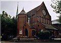
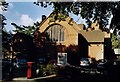
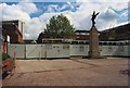
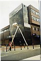
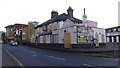
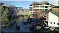
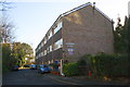
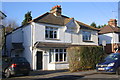
100 photos from this area
Area Information
Key information about the GU22 7JD including its size, population, and administrative classification.
- Area Type
- Postcode
- Area Size
- 8703 m²
- Population
- 2031
- Population Density
- 3451 people/km²
House Prices in GU22 7JD
21
Properties
£370,853
Average Sold Price
£210,000
Lowest Price
£565,000
Highest Price
Showing 21 properties
| Address | Type | Beds | Baths | Last Sale Price | Last Sale Date | |
|---|---|---|---|---|---|---|
| 11 Greenheys Place, Woking, GU22 7JD | Terraced | 6 | 6 | £565,000 | Dec 2023 | |
| 13 Greenheys Place, Woking, GU22 7JD | Terraced | 4 | - | £495,000 | Jul 2022 | |
| 5 Greenheys Place, Woking, GU22 7JD | Terraced | 4 | 1 | £450,000 | Apr 2022 | |
| 6 Greenheys Place, Woking, GU22 7JD | Terraced | 4 | 4 | £480,000 | Jun 2019 | |
| 2 Greenheys Place, Woking, GU22 7JD | Terraced | 4 | 1 | £480,000 | Aug 2018 | |
| 12 Greenheys Place, Woking, GU22 7JD | Terraced | 1 | 1 | £430,000 | Apr 2017 | |
| 4 Greenheys Place, Woking, GU22 7JD | Terraced | 4 | 1 | £469,750 | Jan 2017 | |
| 10 Greenheys Place, Woking, GU22 7JD | Terraced | 4 | - | £433,000 | Jul 2015 | |
| 9 Greenheys Place, Woking, GU22 7JD | house | 4 | - | £325,000 | Dec 2011 | |
| 8 Greenheys Place, Woking, GU22 7JD | Semi-detached | 4 | 1 | £315,000 | Apr 2011 |
Page 1 of 3
Energy Efficiency in GU22 7JD
Amenities
Schools
| Rank | School | Type | Entry gender | Ages |
|---|
Explore more schools in this area
Go to Schools tabDemographics
Household Size
Two person
most common
Accommodation Type
Flats
most common
Tenure
55
majority
Ethnic Group
White
most common
Religion
N/A
most common
Household Composition
N/A
most common
Age
47
median
Adults (30-64 years)
most common
Household Deprivation
N/A
with no deprivation
NS-SEC
52
in Lower managerial occupations
Explore more demographic insights in this area
Go to Demographics tabPlanning
Planning Constraints
- Flood RiskPremium
- Ramsar Wetland SitesPremium
- Area of Outstanding Natural BeautyPremium
- Protected Nature ReservePremium
- Protected WoodlandPremium