Area Overview for GU22 0RP
Photos of GU22 0RP
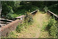
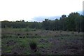
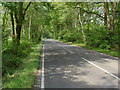

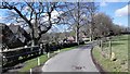
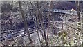

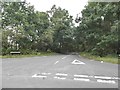
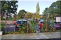
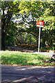
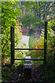

41 photos from this area
Area Information
Key information about the GU22 0RP including its size, population, and administrative classification.
- Area Type
- Postcode
- Area Size
- 21.3 hectares
- Population
- 1339
- Population Density
- 153 people/km²
House Prices in GU22 0RP
6
Properties
£519,750
Average Sold Price
£126,000
Lowest Price
£1,125,000
Highest Price
Showing 6 properties
| Address | Type | Beds | Baths | Last Sale Price | Last Sale Date | |
|---|---|---|---|---|---|---|
| 2, Heath View, Kemishford, Mayford, Woking, GU22 0RP | Semi-detached | 2 | 2 | £415,000 | May 2020 | |
| Yew Tree Cottage, Kemishford, Mayford, Woking, GU22 0RP | Detached | 4 | 2 | £665,000 | Apr 2018 | |
| Willow House, Kemishford, Mayford, Woking, GU22 0RP | Detached | - | - | £1,125,000 | Nov 2005 | |
| Mulberry Cottage, Kemishford, Mayford, Woking, GU22 0RP | Detached | - | - | £410,000 | Jul 2005 | |
| Al-ayesha, Kemishford, Mayford, Woking, GU22 0RP | Detached | 5 | 1 | £377,500 | Nov 1998 | |
| 1, Heath View, Kemishford, Mayford, Woking, GU22 0RP | Semi-detached | 2 | 2 | £126,000 | Mar 1995 |
Energy Efficiency in GU22 0RP
Amenities
Schools
| Rank | School | Type | Entry gender | Ages |
|---|
Explore more schools in this area
Go to Schools tabDemographics
Household Size
Family (3-5 people)
most common
Accommodation Type
Houses
most common
Tenure
87
majority
Ethnic Group
White
most common
Religion
N/A
most common
Household Composition
N/A
most common
Age
47
median
Adults (30-64 years)
most common
Household Deprivation
N/A
with no deprivation
NS-SEC
53
in Lower managerial occupations
Explore more demographic insights in this area
Go to Demographics tabPlanning
Planning Constraints
- Flood RiskPremium
- Ramsar Wetland SitesPremium
- Area of Outstanding Natural BeautyPremium
- Protected Nature ReservePremium
- Protected WoodlandPremium